
Recently completed community wildfire resiliency plans (CWRP) for the Regional District of Fraser-Fort George’s seven rural electoral areas will help with grant applications for further fire prevention efforts, the district’s board of directors heard at a committee meeting on Thursday, May 22.
In March 2024, Forsite Consultants was contracted to produce the CWRPs for Electoral Areas A, C, D, E, F, G and H. These plans were finalized and sent to the regional district on April 30 this year.
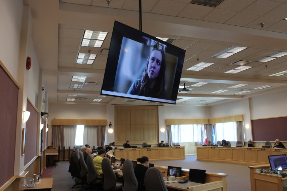
At the May 22 meeting, Forsite’s Lauren Shinnimin connected remotely to provide an overview of the CWRPs and the recommendations they contain.
She said funding to complete the plans was obtained through the Union of BC Municipalities’ Community Resiliency Investment Program.
The objectives of the plans, Shinniman said, was to identify local wildfire hazards and risks, increase the regional district’s capacity and understanding of wildfire risk, foster greater collaboration between different administrative groups and agencies, increased wildfire preparedness and reduce the potential loss of homes, critical infrastructure and other valued entities.
While the work encompassed the entirety of the electoral areas, Shinniman said the field work was centred around what’s called the wildland urban interface, which are areas where the flammable vegetation meets homes, structures and critical infrastructure.
Specifically, it’s defined as a one-kilometres buffer zone between wild areas and areas with a density greater than six structures per square kilometre.
The recommendations made in the plans follow the seven disciplines laid out by the FireSmart program: vegetation management, education, legislation and planning, emergency planning, cross training, interagency co-operation and development considerations.
The area-specific recommendations were created by gathering background information, holding open houses in each of the electoral areas, engaging with Lheidli T’enneh First Nation and McLeod Lake Indian Band, assessing wildfire risk on Crown land adjacent to private properties and developing each of the plans.
The meetings with the First Nations were opportune, Shinniman said, because they were developing their own CWRP at the same time and it allows the regional district to develop relationships between their staff and the nations’.
District staff said there were around 50 people who completed an online survey on the CWRPs while around 90 people participated in the open houses across the entire district.
Assessing the Crown lands had the consultants complete 200 different wildfire threat assessment, which includes analyzing the potential fuel for fires at the surface level, at the ladder level which includes shorter trees and the lower levels of taller trees and at the aerial level which includes the tops of trees.
Keeping fires to the surface level is important, Shinniman said, because “if we keep the fire on the ground, it’s a lot easier for BC Wildfire personnel to fight safely and keep that fire intensity below a certain threshold.”
She said the Ministry of Forests previously developed landscape-level wildfire risk reduction plans for Crown land in the Prince George and Mackenzie resource districts.
“That’s going to be the primary source of fuel treatment for Crown land, which is important for regional districts because your communities are located on Crown land, they’re unincorporated so it’s not municipal governments (in charge),” Shinniman said.
“This really takes a burden off of regional districts to have the find the funding to complete all these fuel treatments when the ministry already has a plan in place to do so.”
Each of the CWRPs were more than a hundred pages long, so Shinniman summarized some of the common themes and major findings across all seven areas.
The first was that within each electoral area, over half the land within the wildland urban interface is occupied by private land. That limits the available options for fuel management treatments on Crown lands next to nearby private homes and structures.
The second finding was that adopting FireSmart principles and retrofitting has been slow among residents. In the public feedback received during the development process, private land owners said they were concerned about the high costs of doing so.
The third finding was that there are no development permit areas where wildfire hazards are identified in most of the regional district and no requirements for new buildings to implement FireSmart principles. That means they could be at greater risk from wildfires.
The fourth finding was that there are a lot of isolated communities as well as communities with only a single exit throughout the regional district, many of which aren’t covered by a fire protection area.
The final finding was that there are mainline railway lines passing directly through or next to small communities in much of the regional district. When conditions are dry, there is a wildfire risk from grinding along rail tracks creating sparks.
Now that the CWRPs are complete, they’ll provide a roadmap for how the regional district can improve its wildfire resiliency for the next five years and beyond.
They’ll also allow the regional district to apply for grant funding to complete the recommendations as well as FireSmart funding.


