
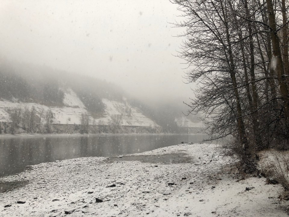
How early were you up this morning to shovel snow, Prince George?
All that hard work you put in may be a bit of a waste considering the snow is still coming down, in fact, up to 10 cm could be on the ground by the end of the day according to Environment Canada.
It is light snow mind you, but by tomorrow (Feb. 1) and Saturday (Feb. 2), we could see as much as 50 cm fall in total across the city and its surrounding areas.
A winter storm warning remains in effect for Highway 97 from the Pine Pass to 100 Mile House, Highway 16 east toward Tete Jaune Cache and the Alberta border, and Highway 16 west across the entire Bulkley Valley and Lakes District.
If you're heading further south today to the Cariboo, a freezing rain warning is also in effect.It also may feel warmer than usual for now, but it isn't going to last for long.
Environment Canada is also reporting temperatures ranging from -20 C to -30 C starting this weekend, getting to as low as -34 by Monday night.
Sunny skies are also on the way as a dry Arctic air system settles in.
Winter Storm Warning issued for areas of the central interior of B.C. including #PrinceGeorge #Vanderhoof #BulkleyValley #Smithers #BurnsLake #Yellowhead #DawsonCreek #Chetwynd #PinePass #BCHwy97
— ECCC Weather British Columbia (@ECCCWeatherBC) January 31, 2019
Full details here: https://t.co/ZVDhq7lNL8 #BCstorm pic.twitter.com/5tRixETtYk

