
The Regional District of Fraser-Fort George has a better understanding of flood and landslide risks within its borders after receiving a comprehensive report at the Thursday, July 17 board of directors meeting.
The report was created by the Fraser Basin Council and BGC Engineering in partnership with the municipalities within the regional district as well as Lheidli T’enneh First Nation and McLeod Lake Indian Band.
Work on the report started in 2023 and serves as Phase 1 of a larger risk and disaster management project for the regional district. Funding for the report was provided by the Union of BC Municipalities.
It assesses hazards relating to steep creeks, landslides and floods, assesses various assets’ exposure to those hazards and making recommendations on how to consider how climate change could affect them when making future emergency management, mitigation planning, and policy development decisions.
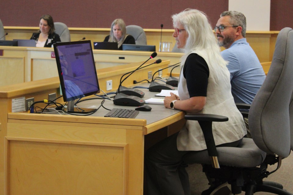
Presenting on the report were FBC’s Kim Menounos and Scott Brown, who were present in the board room, and BGC’s Kris Holm, who presented remotely from North Vancouver.
Within the regional district’s settled areas, the report said 271 alluvial fans, 1,232 past and present landslide locations and more than 2,700 square kilometres of floodplains were identified.
Alluvial fans are triangular landforms at the outlets of steep creeks made up of debris and sediment which can cause that material to flood after long or intense rainfall. Debris floods are typically more damaging than clear-water floods.
Holm said that landslides occur on steep mountain slopes, but surprisingly also on gentler slopes. Areas with slopes with 30 per cent or higher grades are “assumed to have credible potential for landslide initiation,” the report said.
“They initiate either in earth materials and soils or sometimes in bedrock,” Holm said. “they may move quite quickly, faster than anyone could run. In other cases, they move only millimetres per year.”
He pointed to the Willets Creek landslide in 2020 near McBride, which was small in size but triggered debris flows that travelled downstream and created problems for developments.
The floodplains identified in the report, Holm said, are only those located on watersheds at least 10 square kilometres in size.
In these areas, they looked at their hydrology and the chance that they might have a greater than expected flow in any given year and how that might affect the nearby hydraulics that measure potential flood discharges and where flood waters might flow.
This, he said, is a first step in regulating land development in these areas and created flood construction level maps for them.
Using data collected on these potential hazards and the locations of various assets like homes and infrastructure, FBC and BGC created a dataset that can be referred to when the regional district and its partners make future decisions.
For example, one slide from the presentation showed a screenshot from a map of lower College Heights. Overlaid on the map are potential hazards like soil slides in the areas closest to the Fraser River.
Included in the 224-page report are information about hazards in all parts of the regional district, a list of previous flood and landslide events, various maps and recommendations on how to proceed going forward.
As might be expected, the parts of the regional district with the most landslide areas are along mountain ranges and the Robson Valley.
Phase 2 of the project, starting this year and funded by the UBCM, will incorporate heat and drought into the types of hazards considered as well as review the partners’ existing hazard management policies. It’s expected to be worked on through 2027.
Though Phase 1 and in Phase 2, Menounos said FBC has served and will continue to serve as a co-ordinator on behalf of the regional district and the project partners. On top of that, the council will work on public communications for the project, providing the public with information sheets and diagrams explaining the process.
Director Dannielle Alan (Robson Valley-Canoe) said that with 10 mountain ranges and innumerable valleys in BC, it’s impossible to eliminate all risks but knowing about them is important.


