
The B.C. River Forecast Centre is upgrading to a flood warning for tributary rivers and streams around Chilako and southwest of Prince George this morning (April 24).
The Centre says snowmelt rates have eased over the past two days and many rivers through the region have already reached peak levels and are staying at the same level or eased slightly.
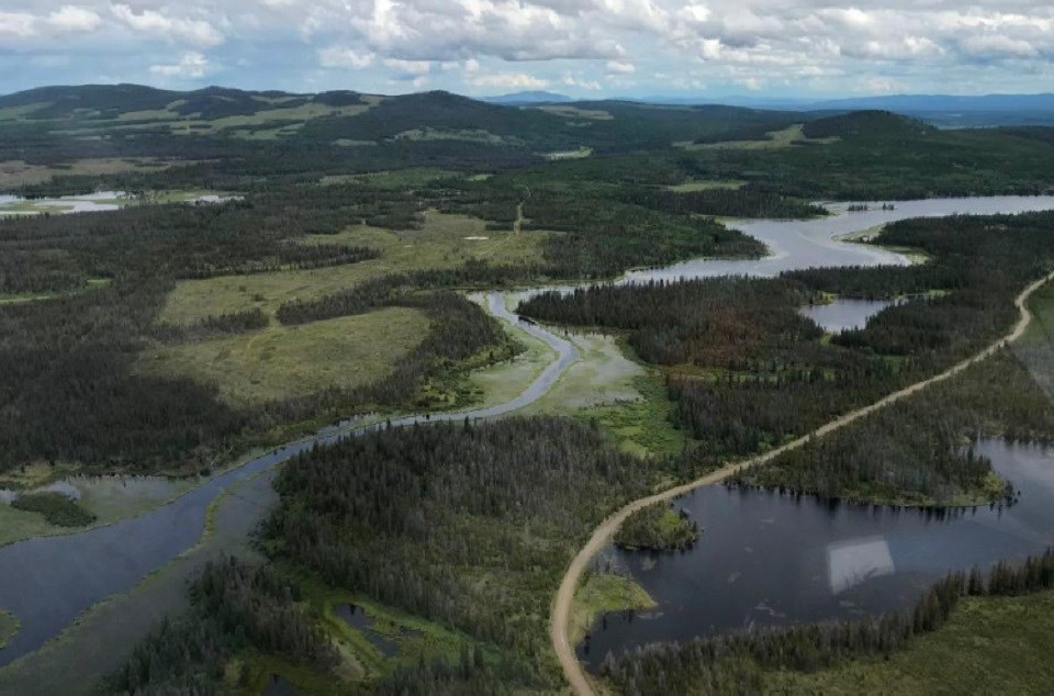
However, the Chilako River, levels have continued to rise but the rate slowed as of yesterday (April 23).
On Thursday night, 40 properties along Upper Mud River Road, which nears the Chilako, were issued an evacuation order.
Upgrade: Flood Warning issued for tributary rivers & streams around Chilako and south-west of Prince George. Details: https://t.co/vbFHye6wJ3 #BCFlood
— Emergency Info BC (@EmergencyInfoBC) April 24, 2020
"A frontal system is expected to pass over the BC Coast on Saturday and may bring light to moderate showers and potential thundershowers across the Interior," a statement reads.
"Precipitation amounts are forecast to be light (5-10 mm) with the potential for localized pockets of high amounts. Temperatures should ease over this period, with freezing levels dropping and the potential for snow over higher terrain."
Snowpacks are lessening in headwaters of many of the Interior Plateau Rivers, the forecast centre says, and runoff is expected to slow down through the weekend.
Current reported river conditions as of 7:00 a.m. Thursday include:
- West Road River near Cinema (Water Survey of Canada gauge 08KG001) has experienced slight easing in river levels with a drop of 10-20cm at the gauge since yesterday. Similar conditions are expected upstream in the Nazko River
- Baker Creek at Quesnel (08KE016) has been holding steady since yesterday
- San Jose above Boreland Creek (08MC040) is estimated to be flowing at 25-35 m3/s (50-year to 100-year flow) and holding steady
- Bonaparte River below Cache Creek (08LF002) is flowing at 63 m3/s (20-year flow) and rising. Continued rises are expected today and potentially into the weekend
- Chilako River upstream of the Highway 16 bridge has risen nearly 35 cm since yesterday, with continued rises expected today and potentially into the weekend
The centre adds while there are signs that rivel levels may be getting to or are already at peak levels, showers and on-going snowmelt through this weekend should keep river levels high and could lead to more level rises.
"Current modelling is indicating the potential for additional rises over the weekend," the statement continues.
"Continued rises are expected on the Bonaparte River and the Chilako River due to snowmelt."
The public is asked to stay clear of the fast-flowing rivers and potentially unstable riverbanks during the high-streamflow period.


