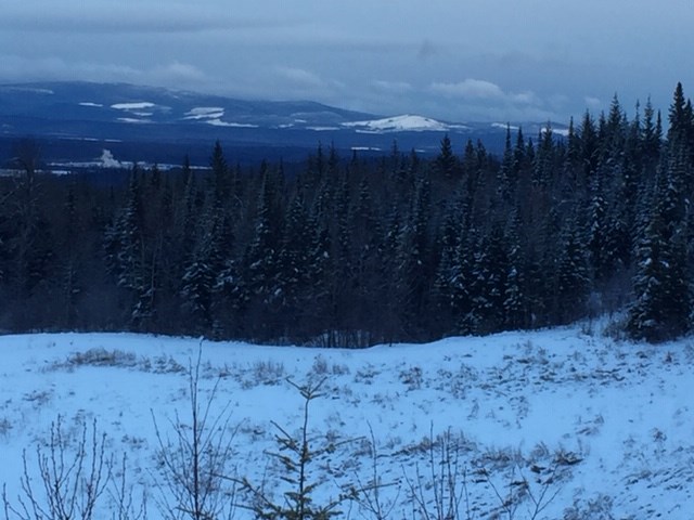
It’s still going to be cold and snowy, but it doesn’t look like we will have a repeat of January’s extreme cold snap, according to Environment Canada weather models.
Last month’s extreme-cold temperatures, which lasted for about a week, began mid-month with the arrival of an arctic ridge.
“Our data for Prince George suggest we started to see already some cold temperatures on Jan. 9, for instance, we had a high of only -9 C that day, that was the first inkling that something was changing,” says Environment Canada meteorologist Natalie Hasell in an interview with PrinceGeorgeMatters.
“The real change happened on Jan. 11 at -13 C and the very cold weather spanned from Jan. 12 to 17 with slight recoup on Jan. 18.”
On Jan. 15, the temperature dropped to -44.4 C (without wind chill), shattering the previous record of -41.2 C on Jan. 15, 1979.
However, outside that time period, Hasell says temperatures were near or above normal, keeping January on-par with average Canadian climate.
“It’s really important to look at variability and actual data,” says Hasell. “Because if I told you the month of January was normal temperature-wise, it might not reflect what you experienced.”
In terms of precipitation, Prince George received 57.2 mm, which is slightly above the normal is of 52.9 mm.
Hasell also notes after the cold spell, the temperature rose drastically because of a change in wind direction.
“Often with these changes, you’ll see we will be under a ridge of high-pressure — an arctic ridge over your area and they are slow to move so when you are in them you get these very cold temperatures for several days in a row, as you did,” says Hasell.
“Now for things to change you need a strong enough low-pressure system to sweep through the area and scour out the cold air so your wind pattern changes.”
Hasell also says while most models are predicting the temperature will drop below normal in the next few weeks, she doesn’t foresee another plummet to those extreme lows.
“Most models are pointing to temperatures sitting somewhere around -20 C,” says Hasell.
“It doesn’t look like you’ll get the deep freeze that you got in the middle of January but it does look like it will get cooler again.”
More immediately, Prince George is also expecting another dump to snow tonight (Feb. 3) and continuing into tomorrow (Feb. 4).
“The bulk of it falls tomorrow and tomorrow night and then it will be still cloudy on Wednesday but we are not expecting precipitation, but it is still possible,” says Hasell, adding we can expect 5 to 10 cm for tomorrow.
She says road conditions are impacted by the recent freeze-thaw cycle with the daily temperature above zero and nightly below.
“Especially considering we are expecting snow in the area roads could be affected by this. Pay attention to conditions and give yourself enough time when you are travelling from point A to point B.”


