
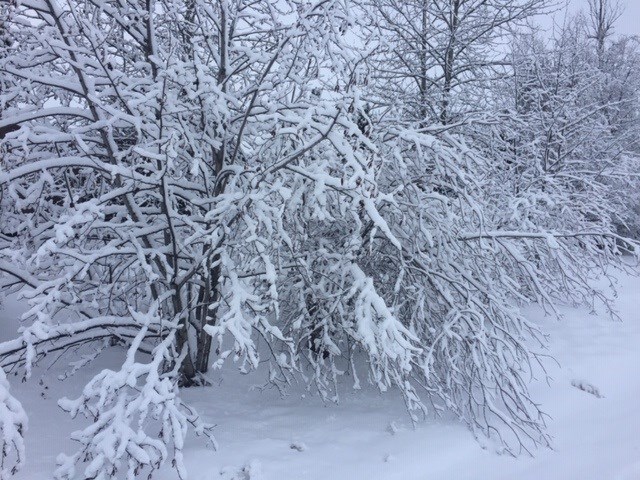
Snow has modestly returned to Prince George this morning (Nov. 9) and more is on the way, according to Environment Canada.
As of 5 a.m., the national service is predicting up to 10 cm of the white stuff widespread across the city and its surrounding regions today, thanks to a strong frontal system moving in from the Pacific.
Southerly winds will help bring in the snow, gusting up to 50 km/h, making it feel like -12 C outside.
The snowfall is forecast to stop late in the evening at a reduced 40 per cent chance of flurries for overnight.
Prince George commuters are being reminded once again to drive to the conditions as the weather could change on a moment's notice.
The same snowfall warning is in place for the Stuart-Nechako and Cariboo-North regions, so Highway 97 and 16 may become dicey if the snow worsens.


