
We’re in for a mixed bag of weather the next three days.
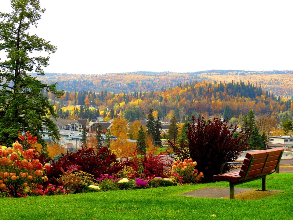
Thanksgiving weekend weather will be a bit on the cool side, with daily high temperatures forecast to be about three degrees below normal, but the rain and cloudy skies that have dominated the week will give way to clearer skies and sun.
However, after a warmer-than-normal September and a mild start to October, snow flurries might be in store for Prince George and the central Interior next week, starting as early as overnight Tuesday.
Frost and below-zero lows are predicted for the city Sunday, Monday and Tuesday and that’s bad news for gardeners who have managed to keep those tender plants alive and thriving up to this point.
“It’s getting to where you might get some frost, the pattern has quite a bit changed,” said Environment Canada meteorologist Doug Lundquist. “We have some rain now and into early Saturday but for the middle of the weekend there’s a break between systems. Sunday and Monday hopefully we’ll see some sun part of the time but cold though, compared to where we’ve been, with highs of only about eight degrees. That’s a few degrees below the average high of 11 C.
“Then on Tuesday we start to get into another system and some more rain and I’m sorry to say that I have in the icons a few snow symbols mentioned for Tuesday night, into Wednesday and Thursday. That being said, it looks like the ridge is building back for late next week, so there’s a chance we’ll still get some decent weather yet.”
The lows will drop to 1 C overnight Saturday, -1 C on Sunday and -2 C under clear skies on Thanksgiving Monday. It doesn’t get much warmer at night later in the week with lows dropping to the freezing mark Tuesday and 1 C on Wednesday. The average low is 0 C.
The long-term seasonal forecast calls for highly-likely above-average temperatures for the rest of the fall in the central Interior. October has been significantly warmer than normal, with highs averaging 14.7 C and lows of 4.1 C. Oct. 3rd was the warmest day, when it reached 20.5 C. It did drop slightly below zero on Wednesday, hitting -0.8 C. So far we’ve had 20 millimetres of rain in the city, half of which fell on Monday.
High pressure dominated B.C. for the majority of September and the warmth of October so far has helped make up for what was the 13th coolest and 13th wettest summer on record for Prince George in June, July and August. Prince Rupert just experienced its wettest summer ever.
“There was a big difference between Prince Rupert and the southern Interior,” said Lundquist. “In Kelowna we had our hottest-ever September and the record goes back 26 years. The latter half of summer and the beginning of fall was pretty incredible for much of B.C.
“Even Prince George, you averaged 11.4 C in September, so you were a degree above average.”
A La Niña winter is predicted, which usually means a colder, snowier winter for much of Canada but Lundquist said climate change, warm ocean temperatures in the eastern Pacific and extensive Arctic sea ice melting might counteract the effects of the La Niña effect on wind and currents.


