
Skiers and snowboarders and those allergic to sunshine might object, but you’d be hard-pressed to find anybody not liking the extended summer weather we’ve been getting.
Monday’s high of 24.2 C was a record-breaker for Prince George, eclipsing the old mark of 23.9 C set in 1942, and there’s no end in sight to the above-average, mostly sunny conditions.
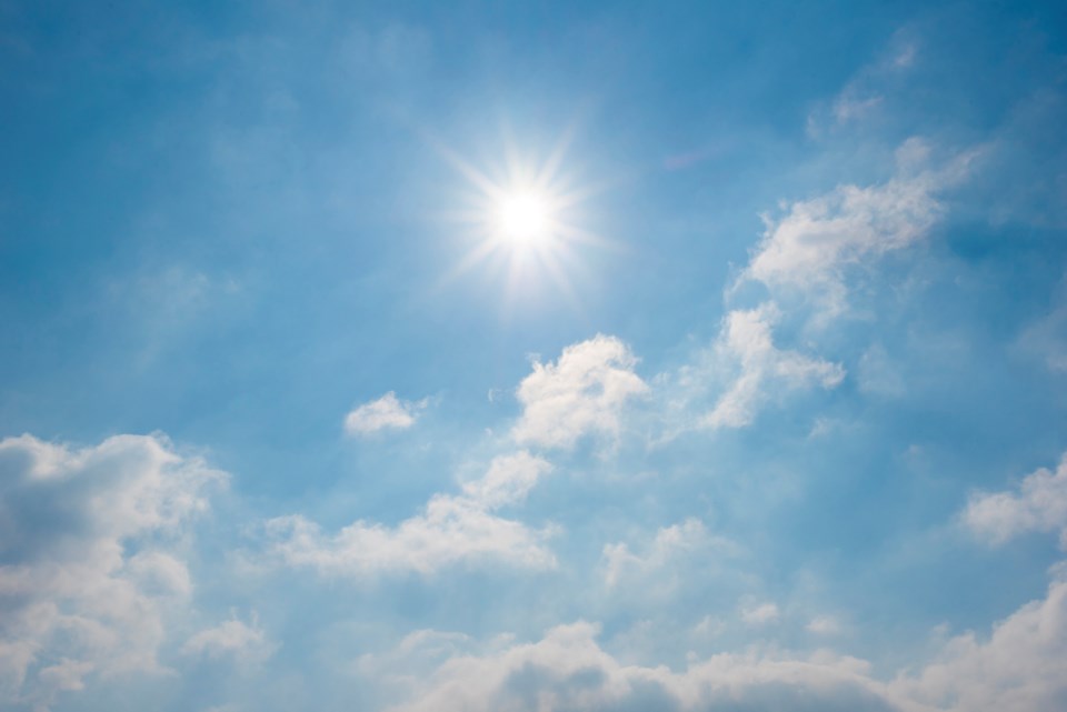
Environment Canada is predicting a high of 22 C for today under clear skies, which won’t get close to the record of 26.7 C for Sept. 27, set in 1967, but it’s still 10 degrees above normal for this time of year.
Sunny skies are expected Wednesday with a high of 18 C, and increasing cloudiness during the day could result in a few showers Wednesday evening. A cloudy day is in the forecast for Thursday, but it will still be warm, with a high of 20 C. The sun is predicted to return Friday and will continue through the weekend with highs in the 18-19 C range through Monday.
The average high so far this month has been 19.5 C, and the average low is 2.6 C, for a mean average of 11 C. We’ve had 11 days this month in which the mercury has risen above 20 C,. We hit 29C on Sept. 2nd and reached 25 C on the 3rd and 10th of the month.
“The high pressure keeps building in, even if we get a disturbance moving in, it doesn’t stay long, and we’ve been keeping up that ridge of high pressure for most of the month,” said Environment Canada spokesperson Bobby Sekhon.
“Meanwhile, it’s the Alaskan panhandle that (has) been getting most of the precipitation. They’ve had a lot of rain the past three weeks, but overall, southern and central B.C., all have mostly been under this ridge of high pressure, which has led to fairly dry and warm conditions.”
The good news for gardeners still hoping to keep their flowers alive is we’ve yet to experience a killing frost and that extending growing period will continue. Overnight lows will be in the 5-6 C range for the next four days, with a low of 4 C predicted for Saturday and 2 C predicted for the overnight hours of Sunday.
There have been six days this month in which the thermometer at Prince George Airport plunged below the freezing mark, but on three of those days, it was just barely below zero.. The coldest night yet for September was on the 20th (-3.9 C), and it dropped to -2.5 C in the early morning hours of Sept. 14th and 21st and hit -1.6 on the 22nd - the first day of fall on the calendar.
That’s actually colder, on average than September 2021, when there were just three days below the freezing mark and the coldest it got was -2.6 C. The average low for last September was 4.8 C, and the average high was 17.2 C.
Temperatures are usually slightly warmer in the bowl part of the city, which is at a lower elevation than the airport.
Aside from a 30 per cent chance of showers Wednesday night, there’s no rain in the forecast for the next seven days. Just 18.3 millimetres of rain fell on the city in the first 26 days of September, and most of that came on Sept. 3rd (11.4 mm). There have been measurable amounts of moisture on just seven days this month, well below normal. The average precipitation for the 30 days of September is 56.3 mm.
Prince George has been drier than normal for the past three months, starting in June, when we received 50mm (average is 65mm). In July, we only had about half of the normal rain – the average is 62.1 mm, and we received 33.8 mm. In August, the city had 37.7 mm. That was 72 per cent of the 51.5 mm average.


