
Of all BC cities, Prince George is the third most likely to experience thunderstorm activity and it’s happening again this afternoon.
Environment Canada has issued a thunderstorm warning for Prince George, with the southern outskirts of the city in the line of fire for lightning strikes, heavy rain, damaging hail and strong wind gusts.
As of 2:25 p.m., the severe storm was located over Baldy Hughes, heading northeast at 40 kilometres per hour and by 3:30 p.m., rain and lighting had reached the city.
The locations expected to be impacted include Baldy Hughes, Beaverly, West Lake Park, Red Rock, Stoner and Buckhorn.
Take immediate cover as the storm approaches, protect yourself from flying debris and watch out for falling trees and branches.
This is the third thunderstorm to approach the city since Saturday.
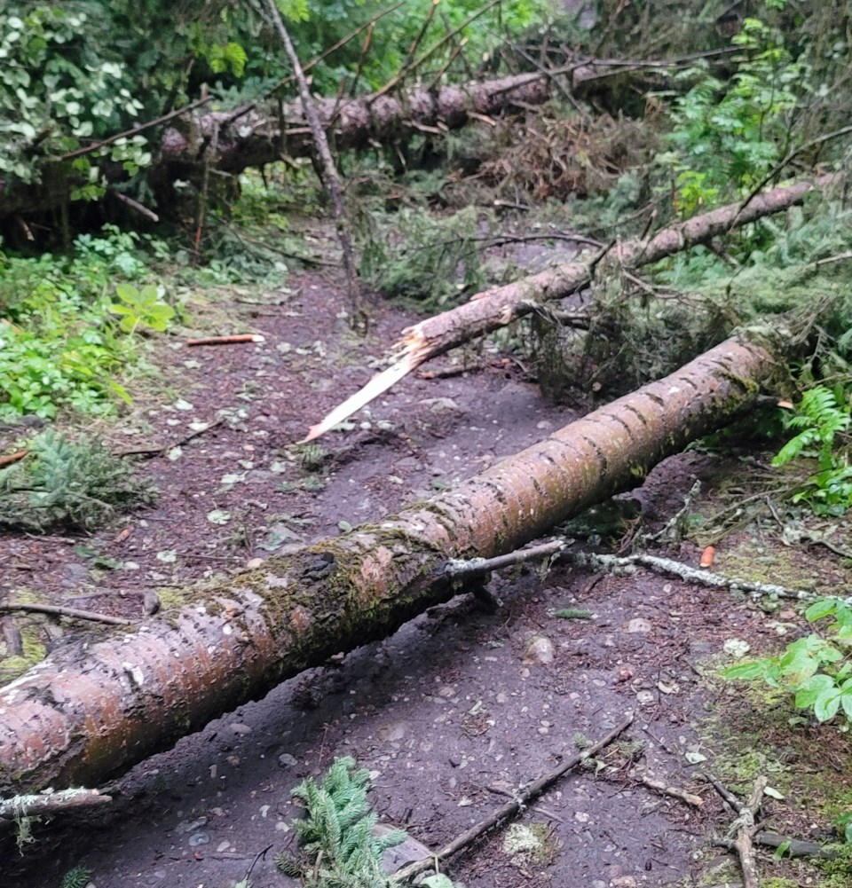
Saturday’s storm downed several trees at Moore’s Meadow in the Bowl area of the city, leaving two of the park’s trails on the southern bank blocked by large fallen trees.
After several days of unsettled weather, the forecast for Prince George is looking much better, starting Wednesday and continuing through the weekend.
Wednesday will bring a mix of sun and cloud and a high of 17 C, warming to 21 C Thursday and Friday, 23 C on Saturday and 28 C Sunday under clear skies.
Lows will range from 6-9 C.
The hot weather is expected to continue Monday with a forecast high of 29 C.


