
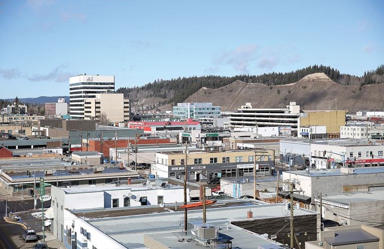
It's official, spring has sprung in Prince George, according to Weather Network meteorologist, Michael Carter.
"Are you ready for the big spring story?" said Carter. "Well, I'll tell you, I've been doing interviews all morning and all of my interviews from eastern Canada have been highjacked today by this big winter storm. We're actually getting our first big winter storm today - of course it waits until the day we're doing our spring outlook to drop 25 cm of snow on us, so I've been enjoying my west coast talks today mainly because they're the only people that are getting any kind of spring-like weather right now. So that's been nice."
The big question is what does our spring look like, how are the patterns setting up for the rest of March, April and May, said Carter.
"I'm sure it comes as no surprise that winter ended up being quite mild for most of the country and that was largely driven by the El Nino event that was ongoing this year," said Carter. "You get this warm water down in the central Pacific and it really sets up weather patterns all across North America and that was the big driver for the big parade of storms that coastal British Columbia got this year - just round, after round, after round."
The Pacific air set up the warm pattern through really most of the winter especially out west, he added.
"It was pretty pleasant and you don't turn down a mild winter," laughed Carter. "Certainly Prince George can go hard in the other direction, so it's nice to have the mild weather when you can get it."
Looking ahead to spring, it's looking pretty fine for the city.
"What's happening right now is the El Nino event is weakening as we expected," said Carter.
El Nino events tend to peak around November/December.
This El Nino will be one of the strongest events ever recorded and if it's not the strongest it's likely top two or three but the final numbers are not in yet to say for sure, he said.
The system has started to weaken in 2016 and there have been some slight changes giving Eastern Canada some winter weather while the West has kept to a mild pattern.
"Moving into March the story for you guys is pretty much continued warmth," said Carter. "We're really forecasting a mild spring for all of western Canada and you get to keep the mild pattern that you've had in place. I think it's going to be really nice. It should be really enjoyable. We don't really see any big Arctic events coming for you guys, so spring is here for most of Western Canada."
It's important to keep in mind spring is a transitional season, he added.
Average daily high temperature in February is 0.8 Celsius, average daily high temperature for March is 6.3, by April it's up to 12.3 and May sees 17.6, said Carter.
"No matter what, wherever you are, you're going to be getting warmer through the next three months - that's just built into the season," said Carter. "What we can look at is can we expect to be above normal, below normal - what is the trend going to be? And we are definitely looking at warmer than normal temperatures for western Canada."
The other side of the forecast besides temperature is precipitation and the storm track is shifting north a bit so where it's been impacting southern BC through the winter the storm track is expected to shift north, said Carter.
"So it will be more of a northern B.C. coast, Alaska type storm track - Gulf of Alaska rather than the Canada Pacific Northwest and southern B.C.," said Carter.
"What that should allow you to do is pretty much hang near normal in terms of precipitation for Prince George. You're probably going to end up with right on your normal precipitation."
Rainfall numbers for March average is 15.6 mm, April average is 30 mm, for May average is 42.2 mm. Average snowfall for March is 11.8 cm, April average is 2.5 cm, and May average is a mere 0.3 cm, said Carter.
"So normal spring weather," said Carter. "Rainfall increasing, snowfall decreasing and we're expecting you to be pretty similar again this year with no major storm tracks influencing you either way."
Even though it's a little outside the spring forecast Carter said he could tease a bit for June with the trending weather pattern.
"We're really expecting the warm trend to continue," said Carter. "So warm temperatures coming in for June to give a really good taste of summer. So nice weather people can enjoy. Warm temperatures coupled with the snowpack that the mountains around you have gotten so far this year should make for some nice spring skiing so that'll be a nice benefit after a couple of dry years for British Columbia. So good news all around."
Full spring forecasts for across Canada are available online at theweathernetwork.com.


