
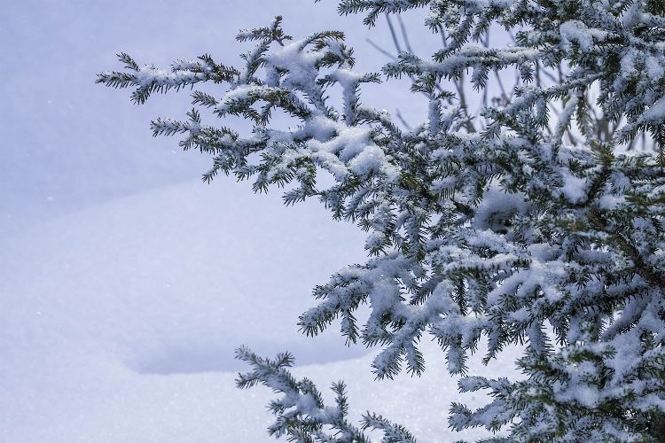
The snow is coming.
Local residents had almost forgotten what the white stuff looked like, with the winter drought that covered (meaning not covered at all, by anything) the region this season.
That's about to change. An overnight snowfall warning from Environment Canada promises a significant dump across the eastern half of the province from the Yukon border all the way to the Alberta border, and south to 100 Mile House.
Prince George is right in the middle of that precipitation. On Thursday afternoon the overnight amount was anticipated to be about 25 cm.
"In addition to heavy snow, this system will also produce strong winds beginning Friday afternoon and continuing through Saturday," said a spokesperson from Environment Canada.
"These winds combined with falling snow may locally reduce visibility further in blowing snow. Be prepared to adjust your driving with changing road conditions. Visibility may be suddenly reduced at times in heavy snow."
The Pine Pass and the Cariboo Mountains were specified as probably getting higher amounts of snow.
The temperatures for Prince George were easygoing, as the snow began to fall. The mercury was anticipated to fluctuate from a daytime high of -2 C Thursday afternoon to -6 C overnight. Making the driving conditions more dangerous is the expected weekend weather, which Environment Canada expects to get above zero on Saturday, bringing with it the threat of cold rain on top of all the fresh snow.
By Sunday, the skies are forecasted to clear and the temperatures dip to -18 C on Sunday and Monday nights, with daytime highs around -8 C. Tuesday could have a small dip to -14 C in the day, but that is expected to ease to -8 C by Wednesday afternoon.
Monitor the Environment Canada website and DriveBC.com for the latest information most pertinent to you.


