
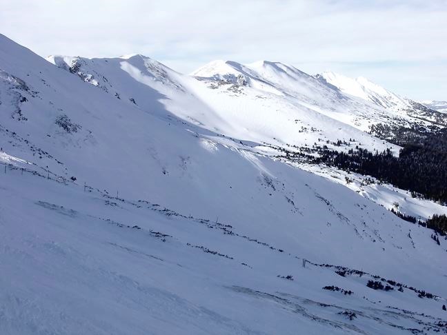
Snow pack in the upper Fraser River basin was 44 per cent above normal in the latest survey by the B.C. River Forecast Centre.
The snow pack at three of 14 monitoring sites in the Upper Fraser basin were at or above their historic maximums.
"You certainly can expect to see higher than normal... flood risk," centre head Dave Campbell said. "[But] it does not mean it is going to flood."
The weather will be the deciding factor if flooding occurs, he said, but generally when the snow pack is 20 to 30 per cent above normal that is when the risk level increases.
While typically two-thirds of the total snow has accumulated by Feb. 1, which is when the last survey was completed, the final snow pack will depend on the amount of snow that falls in the next month or two, Campbell added.
"We've seen it sort of slow down... but not a lot," he said. "I suspect it'll be in that 120 to 130 [per cent of normal] range. There is not really any strong indicators either way, whether we continue to see a light snow pack increase or not. It can change quite a bit."
However it would take substantially lighter-than-average snow falls to bring the levels in the Upper Fraser basin back to normal, Campbell said.
Snow accumulation this year is approaching the record accumulation seen in 2012 in the Upper Fraser basin. On Feb. 1, 2012 the snow pack was at 49 per cent above normal.
The centre is predicting February to July runoffs 21 per cent higher than normal at its Shelley monitoring station, just upstream of Prince George.
Snow accumulation in much of the rest of the province was below normal -28 per cent of normal on Vancouver Island, 34 per cent of normal in the Skagit basin and 43 per cent of normal on the South Coast.
Snow in the Nechako River basin was 80 per cent of normal levels. Only one of eight sites monitored in the Nechako basin was at normal snow pack levels on Feb. 1, the centre reported.
One of the sites set a new record low, at 47 per cent of normal snow pack.
Across the province, snow and rain fall was well below average in January, the centre reported, while temperatures were above normal.
"Sustained high pressure kept the south coast drier," Campbell said.
In the Prince George area, temperatures were three to eight degrees above normal.
The centre's next report is expected on March 10.


