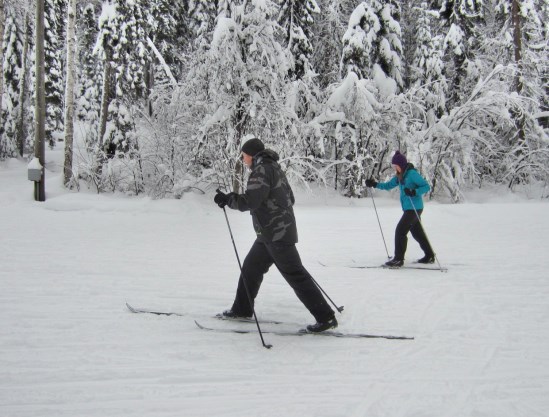
The start of December on Friday will bring a few flurries that will continue during the day Saturday leading to periods of snow that evening and into Sunday, according to Environment Canada.
But it probably won’t be enough for skiers and snowboarders lamenting what has been a warmer-than-normal mostly snow-free November.
“The amounts are on the lower side, maybe just a light dusting for Friday to start with, and once we get into Saturday we may see another two centimetres or so,” said Environment Canada meteorologist Derek Lee.
“Saturday seems like a good day to see some accumulations, around two centimetres, because the temperatures will be rather cold (dipping to –6 C). Once we get into Sunday there’s still snow in the forecast but the daytime high is 1 C, so with things warming up we may be lucky to see another two centimetres Sunday but it likely will be very wet snow.”
Daytime highs will remain below freezing for the next four days.
The first 28 days of November have been warmer and slightly drier than usual.
The mean temperature (average daily high combined with average daily low) is 0.9 C, compared to the average mean of -2.45 C. Normal for this time of year is -3 C for a high and -10 C for a low.
The coldest temperature recorded this month was on Nov. 16 (-6.9 cm) and the warmest day happened Nov. 4 (11 C).
The coldest night so far this fall happened Oct. 28 (-11 C).
Total November precipitation amounts are 48.3 millimetres at the Prince George Airport and 45.9 mm at the Massey Drive weather station. Normal for November is 55.3 mm.
Lee said strong El Nino conditions are expected to persist this winter and significant precipitation, either snow or rain, is expected for much of the province over the next two weeks.
“For the next 14-day forecast were looking at very stormy weather coming back to BC,” said Lee. “Starting Sunday and into early parts of next week you’ll probably see more cloud cover and more chance of precipitation and the temperatures should be nearing normal. That means it’s going to be a mix of precipitation next week, possibly wet snow, snow and maybe a bit of rain or freezing rain moving forward.”


