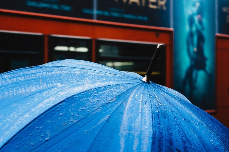
The exceptionally-wet weather that's dominated the region for the last month and a half could finally give way to hotter and drier conditions by early next week, Environment Canada meteorologist Doug Jones said Tuesday.
But you'll need to be patient for a few days yet as showers remain in the forecast through to Friday.
Over June, 92 mm of rain doused the region and, as of Tuesday, a further 93 fell so far in July, both well up from the 60-65 mm typically seen during each of those months.
"Spring was below average, so we were making up for it," Jones said. "The pattern can get stuck at times and it's been stuck in this upper low pattern but there is a shift coming and it's a pretty big one."
Indications are that a strong ridge of high pressure will set in on the weekend "and by early next week, we could be into the high 20s, perhaps touching 30 in parts of the Chilcotin-Cariboo, Central Interior."
That type of weather usually arrives by about July 10.
"I'd say we usually have two summers here in the Interior," said Jones, who is based in Kelowna. "Early summer is the cooler, wet, humid part of summer and then it gets drier, hotter, especially during the day. The nights can be cooler, or the same as what we see in May and June."
If there is a silver lining, Jones said it's that the rain has kept the threat of forest fire at bay.
"The air has been as clean as can be for the most part and that's what we want this year as we're dealing with the health issues," Jones said in reference to the COVID-19 pandemic.
And aside from the mudslide that took out a home near McBride, the region has more or less survived the surge of high water along the Upper Fraser.
"We could have had so much worse," Jones said.


