
In what’s been called an unprecedented heatwave Prince George has already smashed daily temperature records and is on pace to break more as this heat continues through the week.
Starting on Saturday, June 26 the temperature rose to 32.7 C which came in second place for setting a daily record. However, on Sunday temperatures crept up even more breaking the daily record for June 27 with a daytime maximum temperature of 36.4 C.
This smashed the old June 27 record which was 29.4 C and was set nearly 100-years-ago in 1928.
“We've got a very strong ridge of high pressure remaining over the province for the next two days and with that we've got daytime high temperatures reaching up towards 38 C,” said Lisa Erven, a meteorologist with Environment Canada, adding the city will most likely see more records broken.
“If I look at what our daily records are currently standing for the Prince George region over today and tomorrow, those current standing records are only about 30 C and we've got forecasted temperatures of eight degrees beyond those old records.”
Erven says there’s a number of factors that have contributed to the hot temperature being experienced throughout the province.
“The surge of high pressure brought a fairly hot air mass up from the south and then as the ridge moved in over top of B.C. it then became quite stagnant. When you’ve got a multi-day event, what happens is heat accumulates so the temperature just slowly climbs with each successive day.”
She said the temperatures will continue to climb over the next couple of days.
“We have day after day of sunshine and we are also seeing this event play out quite close to the summer solstice. We've got the maximum amount of sunlight hours you could have and that's contributing to this overall heat event in seeing these fairly high temperatures.”
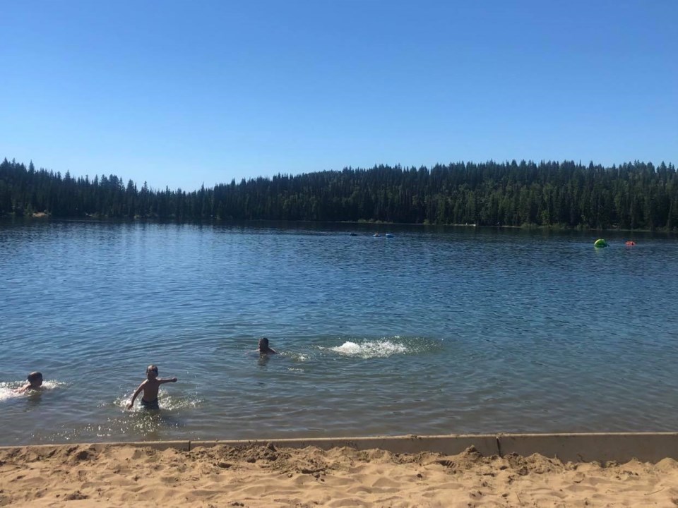
Erven said the high temperatures during this heat event are unprecedented.
“We are looking at a fairly extreme heat event. It's not just about setting daily records but we're setting new all-time heat records,” said Erven.
“These are temperatures well above anything that we've really had much experience adapting to in recent history so it's even more important to take the sun and heat safety tips to heart.”
Erven said when outside it is important to remember to stay hydrated, wear loose-fitting light clothing, take frequent breaks, and use sunscreen.
The forecast throughout the rest of the week will cool off slightly but still remain hotter than average.
“We do have our hottest temperatures on track for today and tomorrow but by Wednesday temperature start to subside to daytime highs of only about 33 C or the low thirties,” said Erven adding that temperature will continue to decline into the weekend.
“However, I use the term cooling in a relative sense. Yes, it will be cooler than these extreme temperatures we're seeing today and tomorrow but the remainder of the week still looks like five to ten degrees above normal.”
She said it is still important to exercise caution especially if you are a part of the more vulnerable population or will be outside for prolonged periods of time.
“Even as those temperatures come down those, safety tips are still in effect going right through this weekend.”


