
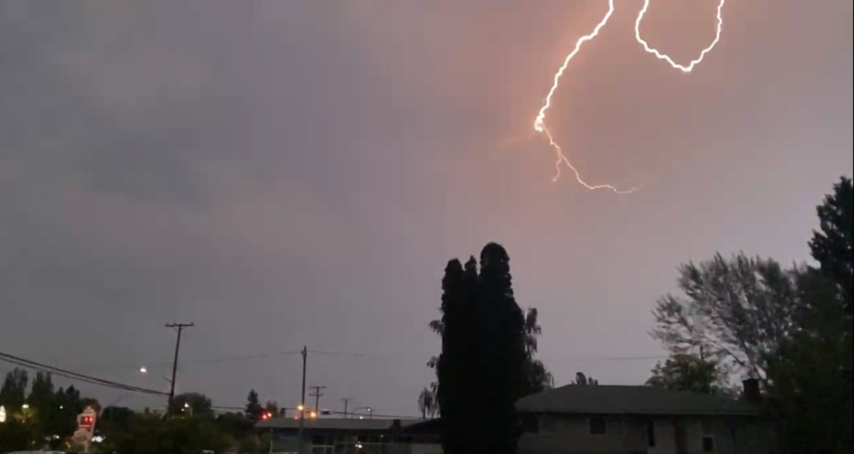
Prince George is currently under a severe thunderstorm watch as of Friday, July 18, at 5:10 p.m.
The alert was upgraded to a severe thunderstorm warning just after 4 p.m. before being downgraded.
Showers will persist through the evening, with a continued risk of thunderstorms. Winds will ease to light overnight, with a low of 13 C.
Saturday will bring more showers, with another chance of afternoon thunderstorms. Rainfall amounts could again reach between 5 and 10 mm. Winds will pick up from the north at 20 km/h, gusting to 40 km/h. The high is expected to be 22 C, with a humidex of 25 and a UV index of 3, or moderate.
Cloudy periods are expected Saturday night, with a 30 per cent chance of showers and a low of 9 C.
The weather is forecast to gradually improve through the week. Sunday will bring a mix of sun and cloud with a 30 per cent chance of showers and a high of 24 C. Cloudy periods are expected overnight with a low of 12.
Monday will be cloudy with a high of 19 C, clearing overnight with a low of 6.
Sunny skies are forecast for Tuesday, with a high of 25 C. Cloudy periods will return overnight with a low of 11.
A mix of sun and cloud is expected both Wednesday and Thursday, with highs of 27 C and 25 C, respectively.
Road conditions are available at https://www.drivebc.ca/


