
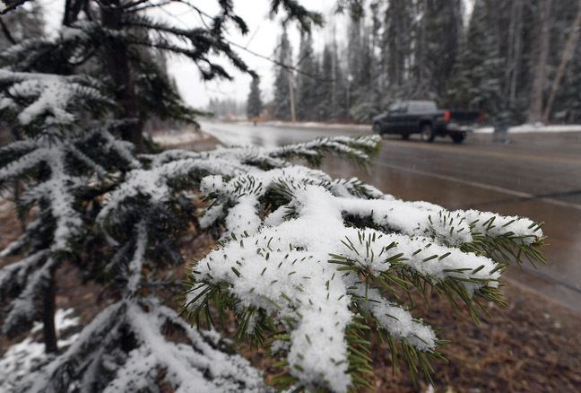
Prince George could spend much of the winter in a Goldilocks zone when it comes to snowfall.
After a dry season last year, snowfall is expected to return to normal levels, while above and below average amounts are predicted respectively for regions to the southeast and northeast,according to a long-range forecast from AccuWeather.
"You're going to be kind of between the two," AccuWeather meteorologist Bob Smerbeck said this week.
As for temperature, he said it won't be as cold as last winter but will be slightly below normal.
Key to the forecast is an expectation a weak La Nina - noted by a slightly colder than normal surface temperature on the Pacific - will favour a storm track or jet stream going through southern B.C. and the Pacific Northwest.
"It's possible that it does shift into the States more as deeper into winter we get and then that would give you a little bit of a drier look," Smerbeck said. "If the storm track stays a little further north, you could end up with a snowier and colder winter in central British Columbia."
It could add up to a good winter for skiers.
"We think enough storms will come into central British Columbia in the early part of the winter that you can lay down a snow pack in places and the ski resorts should be OK." Smerbeck said. "Now, as the winter goes on and potentially that storm track shifts further south, there may be a little bit of drying that takes place."
Over December to February last winter, the temperature was 1.4 C below normal and snowfall was 56 per cent of normal. Broken down, in December the temperature was 4.5 C below normal and snowfall 28 per cent, in January it was 1.6 C below normal and 50 per cent and in February, it was 1.4 C below normal and 100 per cent.


