
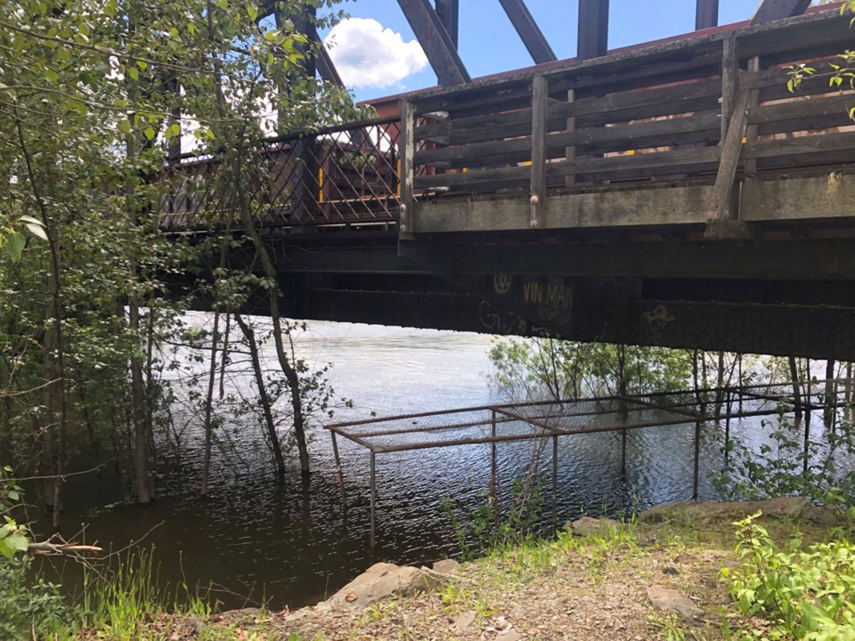
Prince George is one of roughly 70 communities in B.C. which will have better data to prepare for flood risks, following a $13 million flood risk mapping program announced by the B.C. government on Friday.
The Nechako and Fraser Rivers in Prince George were one of the top priorities identified by the Ministry of Emergency Management and Climate Readiness and the Ministry of Forests for flood mapping.
"Understanding the risk posed by floods is the first step in helping prevent the damage they can cause," B.C. Forests Minister Bruce Ralston said. "By providing more widespread flood-hazard mapping, we are providing communities with the tools they need to properly prepare for extreme weather as we all confront the challenges of climate change."
The Bulkley and Skeena Rivers from Houston to Terrace were also identified as a priority area.
Flood plain mapping provides information that can be used by local governments for land use planning and planning flood mitigation projects.
The province is committing $8.69 million of the funding for the project, with the remaining $4.33 million coming from federal sources.
"With climate-related events becoming more frequent and severe, it's essential that we invest in flood-hazard mapping so people and communities can understand and reduce their flood risks," Emergency Management Minister Bowinn Ma said. "This work complements the development of our provincial Disaster and Climate Risk and Resilience Assessment and will contribute to ClimateReadyBC, which helps communities access resources and understand risks. Through these initiatives, we are working to make British Columbia a safer, more resilient province."


