
Environment Canada issued a special weather statement for much of the province Friday, advising people that colder-than-normal cold is on the way.
We’re in for a blast of Arctic air coming in from the north, and with that comes a sharp departure from the relatively balmy weather we’ve been getting for much of January.
Temperatures for the central and southern Interior region will be between five and 10 degrees colder than normal this weekend. The wind is expected to pick up later in the afternoon, after Prince George hit its high of 1 C. Gusts will reach 50 kilometres per hour with a chance of flurries, but it won’t feel that cold until the mercury dips in the overnight hours.
By 7 a.m. Saturday the windchill is expected to drop to -29 C and that will continue throughout most of the day with a high/low of -13/-20 C expected. Another windy cold day is coming Sunday with windchills in the mid—20s C and high/low of -10/-17 C.
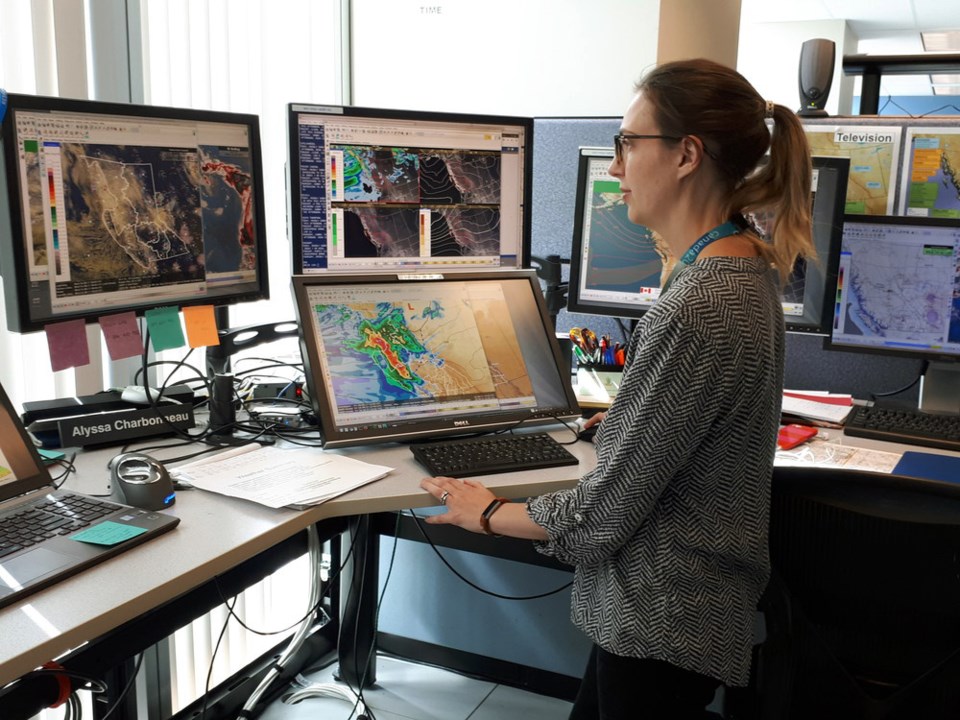
Environment and Climate Change Canada meteorologist Alyssa Charbonneau says Prince George can expect between five or 10 centimetres of snow to accumulate Monday and Tuesday, with more snow forecast for Wednesday. Highs all three days will range from -7 to -9 C and the lows will reach -9 to -11 C. Normal for this time of year is a high of -4 and a low of -13.
“With snow on the way next week, winter is not done with us yet," said Charbonneau. “A few days ago it was looking like we might be into much colder temperatures, but it doesn’t look like it will be too bad for the Prince George area.”
Environment Canada has the ability to issue public notices on its website – either a weather warning or a special weather statement – to alert people about abrupt changes or possibly dangerous conditions in the forecast. Although people sometimes don’t see the difference, it’s the severity of conditions that dictates if it’s a warning or a special weather statement the federal government agency puts out in its public alerts.
“Warnings are when we see weather conditions that are going to exceed certain thresholds we have set and we try to issue those with advanced notice and that’s the heads-up that this impactful weather is on its way,” said Charbonneau.
“Special weather statements allow us to highlight that we might see impactful weather but it doesn’t meet the current criteria for issuing a warning and with those we have a little bit more leeway with situations in which we use them.
“We saw a major shift in the weather (this week) from our mild January to a period of colder-than-normal temperatures and sometime people don’t notice that in our public forecast and this is for us to highlight that.”
She says major incidents, like the June 2021 heat dome that produced three straight days of record-breaking heat all over B.C., and the November 2021 floods that swamped Merritt and the Fraser Valley, have likely conditioned people to pay more attention to the weather around them. Severe weather incidents capable of inflicting damage have become more frequent in B.C. and she says that has likely conditioned meteorologists to be more inclined to issue alerts.
“Our use of (alerts) has perhaps changed over the years and we do strive to communicate things that might be impactful,” Charbonneau said. “We’ve always used them a little bit in that way but as we are learning more about the impacts of weather. Certainly over the last couple years we’ve seen more impacts as well in some of these major events and perhaps there’s more awareness of the weather and the alerts we’re putting out.”


