
Ice build-up along the Nechako River is sparking concern.
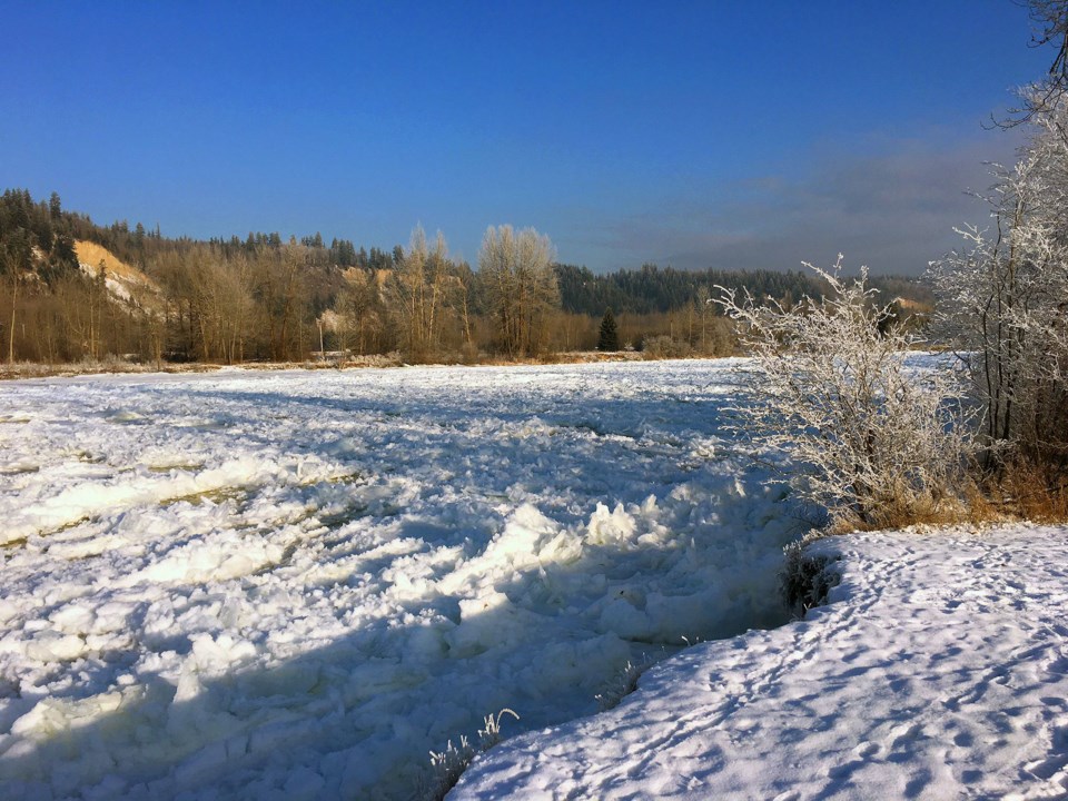
"At the boat launch in Cottonwood Island Park, about two kilometres upstream from the confluence, the ice is stationary and extends across the Nechako River," city hall said in a notice issued Tuesday evening.
"As a result, water is flowing through a side channel in Cottonwood Island Park that the runs parallel to the Nechako from the boat launch, under the Replica Bridge, to the canoe launch area which is adjacent to the confluence.
"At this point, there are no flooded areas on the Nechako River."
The situation was no better as of Wednesday morning, according to Dave Dyer, the city's engineering and public works director.
He said a "lead" or channel of open water at the launch froze up overnight. As well, the ice is a "good three, four feet higher than it was yesterday."
But the water is still flowing underneath.
"It seems to have a way to get through there, so it's not really jamming, it's just restricted if you will," Dyer said.
The side channel in the park is "doing its job...it's flowing and relieving the situation."
Those using the paths and trails along the riverside are being asked to take caution.
"Footprints have been observed on the ice and the public is advised that walking onto the river ice is an extreme hazard," the city said.
The last significant wintertime flooding along the Nechako occurred in 2007-08.
A subsequent study conducted by Northwest Hydraulic Consultants found that the event was a one-in-90-year event and was preceded by a one-in-20-year spring freshet.
The study also found that past events occurred only when there a flow of at least 200 cubic metres per second and a temperature of -5 C or colder for 20 days.
The Ministry of Forests, Lands and Natural Resource Operations is responsible for measuring water flow. MFLRNO flood hazard technician Lyle Larsen could not be reached Wednesday but a ministry spokesperson said staff are monitoring river levels.


