
Wonder & Expected Lakes
This week's hike leads to two lakes with a vast historical legacy. Wonder and Expected Lakes are accessed via the Omineca Trail. The trail was used by the Carrier First Nations as a transportation route from Stoney Creek to the Stuart River and as well the by the early European explorers as a route to the Omineca Gold Fields. The trail is long but relatively flat and the variety of lakes, meadows and creeks will peak the interest of all hikers.
Directions
Drive to the town of Vanderhoof and turn north onto Burrard Ave. Go through the centre of town and cross the bridge over the Nechako River. Stay right after the bridge and follow Northside road for 5.5 km to Striegler Road. Turn right and follow Striegler road for 3.6 km to the trailhead.
Trail Description
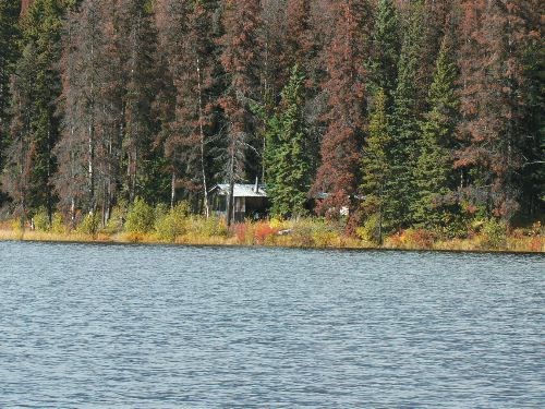
The trail to Wonder and Expected Lakes follows the Omineca Trail and can be accessed from the southern trailhead as described above or from the Blue Mtn Forest Road to the north. The double wide trail heads north from the Streigler Road Trailhead through a pine forest. A forest road is crossed at 1.3 km and a beautiful muskeg meadow is reached at 4.5 km. At 7.7 km an old road is reached. Turn right onto the road, cross a creek and then turn left back into the forest. The junction off the Omineca Trail to the lakes is reached at 9.0 km and is well signed. It is a further 1.0 km to Wonder Lake, 2.7 km to the east side of Expected Lake and 4.0 km to the cabin on the lake.
For more information on this hike and others in this area, including airphotos, maps, GPS coordinates and trail photos, refer to the book Hiking North Central BC which is available at local bookstores.


