
If this is winter, what does spring have in store?
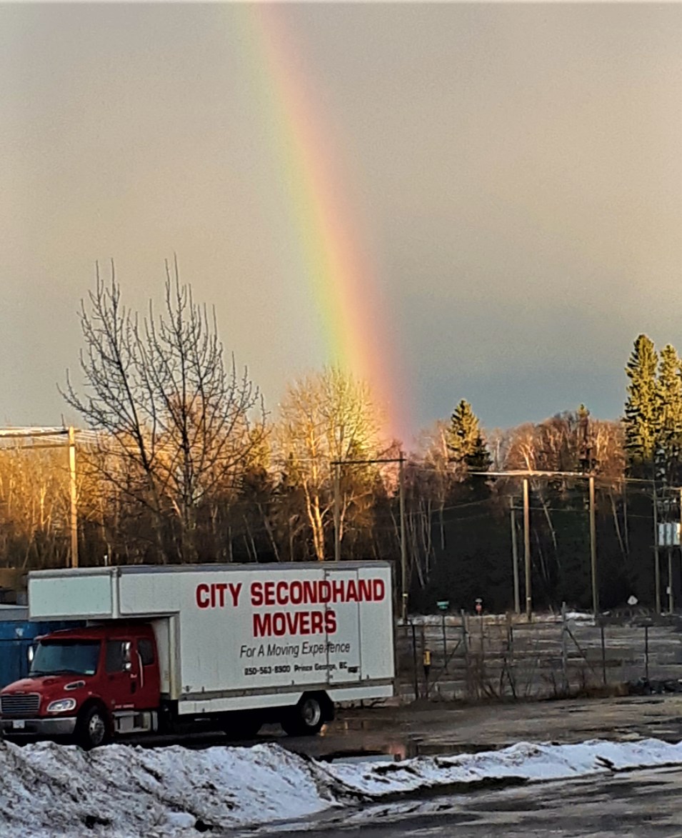
So far, nearly halfway through the coldest time of the year, it hasn’t been cold at all Prince George, compared to what it normally is, and today’s rainy skies and way-above average temperatures made it feel like March rather than the dead of winter.
It was already 5 C when most of us got up this morning to begin the work day and today’s high will reach 6 C, 12 degrees above normal. On Sunday it didn’t freeze at all. The high was 4.9 C and the low was 1.6 C
So what’s happening in the grand scheme of things? What’s weird about this winter for all of the Interior of the province is the cold Arctic fronts are staying away. That’s giving the Yukon the kind of winter temperatures the Central Interior usually receives, Prince George is more like the Okanagan in winter and places like Kelowna are as warm as southern Oregon.
“We have had zero Arctic air in the B.C. Interior this season, which is very extraordinary, but it’s not unheard of,” said Environment Canada meteorologist Doug Lundquist, from his office in Kelowna. “I remember a few winters back where the coldest day of the year was the (spring) equinox).
“We get weather like this in the winter all the time in Prince George. What’s unusual is that’s all we’ve had. It looks like (the warmth) will persist for the next days now and maybe by the 21st it might turn a little normal.”
The rain has diminished and the sun could make an appearance this afternoon but periods of rain are expected after midnight with an overnight low of zero, rising to 3 C by morning. More rain is predicted for Tuesday with winds gusting to 50 kilometres per hour and a predicted low of -4 C.
The sun should return Wednesday with a high of 1 C. Clear skies at night will drop the low to -8 C and more sun is expected Thursday and Friday. Highs the rest of the week will range from -1 C to 3 C and the lows will dip to -5 C or -6 C. The average low for this time of year in -14 C.
“What’s causing this, well it’s La Nina and that usually makes a colder winter, but right at the beginning of the season I was telling people the climate is changing and the direction is warmer in most cases,” said Lundquist. “The fact is the Pacific is so warm still, it’s a positive number, and the fact is the sea ice off of Alaska and north of the Aleutians is way lower than usual, so all of those things warm us up because our weather comes from the west.
“Winter is half-over by the 15th of January, because we count it from the 1st of December, and it’s also exactly halfway through the winter by the coldest days of the year and we’re going to make it to the 15th without any real winter.”
There have been just two days this month of double-digit lows, -12.3 on Friday and -10.1 on Saturday. That’s a far cry from the second week of January in 2020 when we had six days from Jan. 12-17 in which the high temperature didn’t climb beyond -20 C. The bone-chilling lows a year ago were -39.5 C on Jan. 13, -40.3 C on Jan. 14 and -44.2 C on Jan. 15.
The last month of 2020 was one of the mildest Decembers on record for Prince George. The coldest it got was -14.3 C on Dec. 2 and -10.3 C on Dec. 13 and there were 16 days on which it got above freezing. Nineteen days in November were above zero or warmer and the coldest day was Nov. 11, went it dipped to -8.9 C. The cold snap in October brought snow and lows of -13.8 C on Oct. 24 and -14.3 C on Oct. 24.
According to the BC River Forecast Centre, snowpack conditions in the region are near normal. In the Jan. 1 survey released on Friday, the Nechako was at 102 per cent of normal, Upper Fraser West was at 103 per cent and Upper Fraser East was at 117 per cent.
But in the city, the weekend wind and warm weather has melted much of the snow, exposing lawns on residential yards and turning outdoor rinks into puddles. The Outdoor Ice Oval at Exhibition Park is closed temporarily but cross-country ski conditions on the trails at Otway Nordic Centre remain quite good.
“There has been snow at the higher terrain for skiers,” said Lundquist, who anticipates even warmer temperatures in long-range outlook for Prince George next week.
“We need this during COVID, it’s been nice to get out and get walks and get outdoors and have the snow if you want it. It’s been good for transportation and in general it’s been pretty easy on us.”


