
A dousing of late-season snow is in the forecast for the city.
It's expected to start falling over Friday night and amount to about two cm by Saturday morning, Bobby Sekhon, a meteorologist with Environment and Climate Change Canada said.
Other parts of B.C., including the Pine Pass and the Rockies, will also be affected as a low pressure system makes its way through the province.
Snow won't be the only thing it will deliver.
"It's going to be quite an unsettled atmosphere," Sekhon said. "So on Friday afternoon and into the evening there is a risk of thunderstorms as well. You might see a lightning strike here and there, so certainly a bit of excitement in the weather."
All that should be preceded by showers late Friday morning.
It is not the first time snow has fallen on Prince George at this time of year. The record for April 26 is 5.8 cm, set in 1985.
"There's been snow in the Prince George area even into May," Sekhon said. "If you get a cold enough system coming through, it's not impossible.
With highs expected to reach 8 C on Saturday, Sekhon said it's doubtful the snow will last very long.
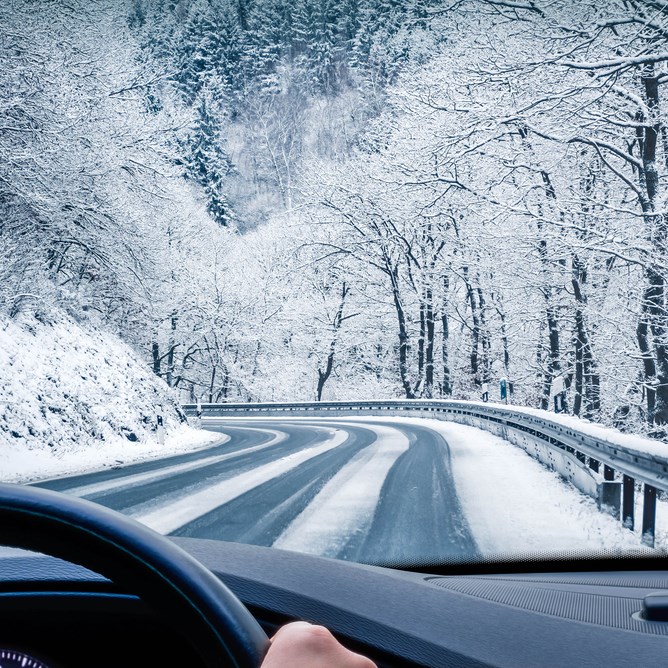
But driving the Pine Pass could be an adventure, particularly for those who decided to remove their snow tires before the provincially-mandated April 30 deadline. The latest road conditions can be found at drivebc.ca.


