
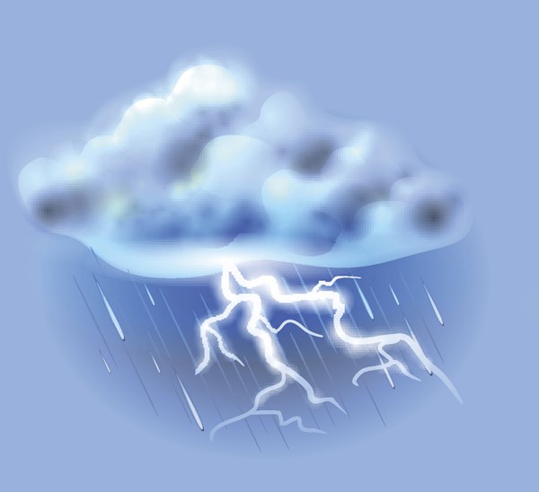
Environment Canada has issued an advisory warning about the potential for severe thunderstorms in much of north-central B.C. on Friday.
In addition to Prince George, the thunderstorm watch is in effect for the Cariboo, Bulkley Valley, Lakes District and Stuart-Nechako area.
"The ridge of high pressure responsible for above seasonal temperatures this week will weaken slightly today. Heat and moisture already in place will be released in the form of thunderstorms as the air mass destabilizes," the Environment Canada statement said. "Some of these thunderstorms may become severe and can be capable of generating strong wind gusts, heavy downpours and large hail."
With the recent hot, dry weather, the risk of lightning strikes starting wildfires is increased.
A heat warning has been in effect south of Prince George in the Cariboo and 100 Mile House areas for the last several days.
The hot weather in those areas is expected to continue through to Saturday, before starting to cool down on Sunday and Monday.
The temperature in Prince George is forecast to be above 30 C on Friday afternoon, and remain warm over the weekend before cooling off on Monday.


