
After one of the warmest, driest Septembers in Prince George in the past 80 years, there are no sign of that long stretch of fair weather changing anytime soon.
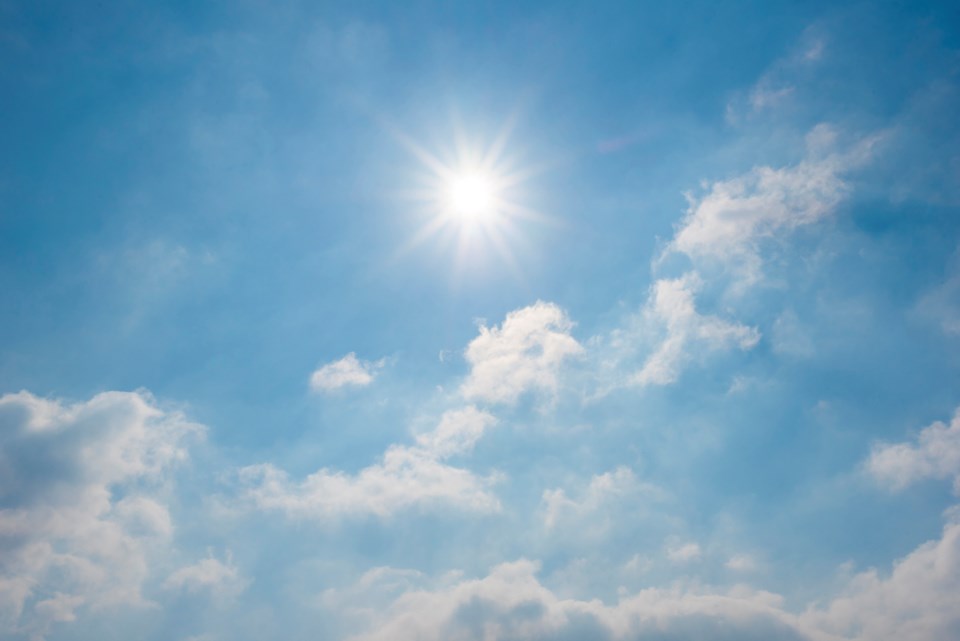
Just look out the window if you have any doubts - what you see is what we’ll be getting for weather over the next seven days, with daytime highs seven or eight degrees warmer than normal. Much to the delight of gardeners, there’s still no sign of frost, with Thanksgiving just around the corner.
The 30 days of September we just experienced were collectively the 18th warmest since Environment Canada began keeping records in 1943. The average high in Prince George this past September was 20.1 C (16.7 C is the average high for the month) and the average low was 3.1 (slightly below the average 4.0 C). The mean temperature (day-and-night combined average) was 11.2 C. Normally it’s 10.4 C.
It was the fourth driest September on record in Prince George, with just 18.3 millimetres of precipitation falling on the city, just 33 per cent of the 56.3 mm normal for the month. After a dry summer, drought conditions persisted through many cities in the province with several cities at or near record levels over the past month for warmth and lack of rain.
“It definitely trended to be a warmer-than-average September for the Prince George area but it doesn’t rank among the top-10 ever,” said Environment Canada meteorologist Derek Lee.
“It is the fourth-driest September in the Prince George area and 33 per cent is somewhere in the middle. Some areas received 1.2 per cent, mainly over Vancouver Island and the south coast. Some areas of the province have only received 1.2 per cent of their normal precipitation.”
Heading for a high today of 27 C, Abbotsford averaged daytime highs of 24.5 C and received just nine-tenths of mm of rain last month - the warmest, driest September ever. Victoria also had its warmest September, averaging 21.9 C with just 1 mm of rain, which is three per cent of normal.
Today’s forecast high of 22 C for Prince George is nine degrees warmer than the normal 12.8 C and the expected low of 5 C is 3.4 degrees above the usual low of 1.6 C. After a cloudy Tuesday evening, clear skies are predicted dominate the forecast region through Sunday, with highs ranging from 19-21 C and overnight lows in the 5-7 C range.
The hottest day in September at Environment Canada’s weather station at Prince George airport was Sept 2nd when it hit 29 C. We also set a temperature record on Sept 26 when the high reached 24.2 C, shattering the old mark of 23.9 C set in 1942.
The lowest temperature for the month was on Sept. 20, when it dipped to a chilly -3.8 C. While there was frost in city neighbourhoods that morning, most gardens are at lower elevations than the airport and escaped permanent damage.


