
The Weather Network issued a long-range forecast Tuesday calling for a warm, dry summer for most of British Columbia, including the Central Interior, that will bring some minuses to go along with the pluses.
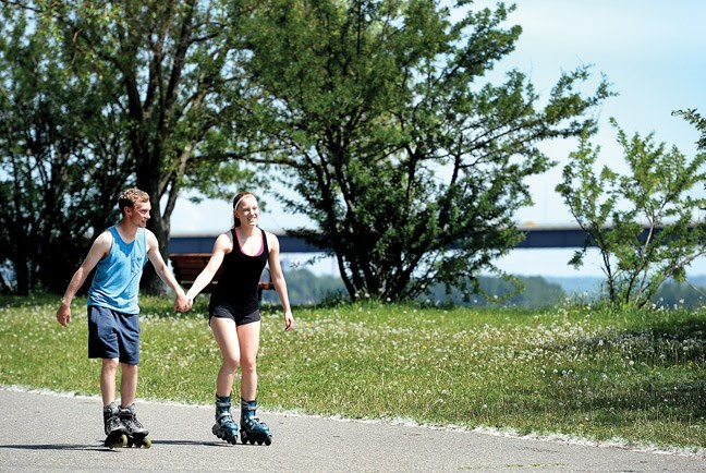
"It's a summer that will be enjoyable for getting out and doing a lot of outdoor activities but be aware, be careful, especially with that wildfire risk," said TNW meteorologist Doug Gillham.
Gillham said the pattern will be similar to the one experienced last year and narrowed the reasons behind it down to two factors.
The first is a large area of warmer than average ocean temperatures to the west of B.C. and south of Alaska, known by some as "the Blob" that has been in place for nearly two years now.
The second is a strengthening El Nino off the west coast of South America, which Gillham said is associated with warmer and drier summers in B.C.
"You put those two together, there's no reason to see a significant pattern change from what we saw last summer," Gillham said.
The result is a jetstream that is taking a more northerly track, going up into Alaska and the Yukon and often bypassing B.C., "and then cascading south somewhere into the prairies and often leading to cooler weather somewhere between the eastern prairies and the Maritimes."
There will be times when the pattern breaks down and cooler, wetter weather will swoop through but the times of above-average warmth will outweigh those periods, Gillham said.
What will hopefully be the worst of the wildfires is now pretty much extinguished.
The 25,000-hectare Little Bobtail Lake forest fire, which was discovered May 9, has been completely contained for more than a week while crews have been checking for hotspots. As well, an evacuation order that affected 80 people has been lifted.
As for the high water watch, after peaking at 8.7 metres on Monday, the Fraser River's level at South Fort George had declined to 8.5 metres by mid-morning Tuesday. However, levels along the Nechako at Vanderhoof and Isle Pierre remained high.


