
We are close to record levels of snow, thanks to the massive dump of unseasonable snow overnight. Prince George is also experiencing near-record temperatures.
It's a rare year when March came in like a lion and is also going out like a lion.
"It'll be hard to hide the Easter eggs in the whole central interior," said meteorologist Jennifer Hay at the Environment Canada headquarters in Vancouver. "I've been digging into the numbers for your area, and I guess you have been digging, too. Sorry about that."
Some areas of the city experienced about 30 centimetres of snow overnight. The numbers were higher at the upper elevations and less snowfall in the Bowl. Hay said she remembered that disparity well, from her time living on the Hart in the mid-1990s, shoveling more than her downtown friends.
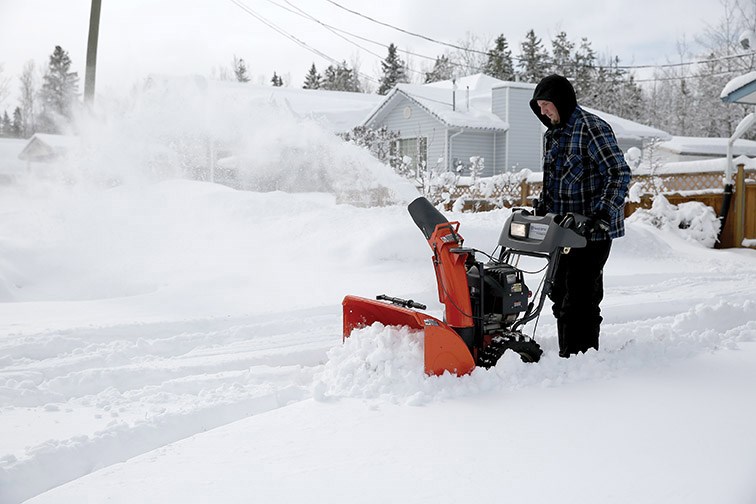
"What I can tell you from our official recording station at the Prince George Airport is Prince George got 19 centimetres (7.5 inches) of snow, which brought the city's snow base up from 32 centimetres on the ground to 51 centimetres on the ground. That is a significant amount of snow for this time of year, definitely."
Fort St. James had 57 centimetres on the ground Friday, after the 20 centimetres they got from this passing storm. Burns Lake only got 15 centimetres from the storm, but their current accumulation is 68 centimetres.
"They were already high and now they are deeper in it," said Hay.
Meanwhile Quesnel got no additional snow so their ground snow is still at only 33 centimetres.
Because the snowfall happened from mid-evening to early morning, the event got bisected by the midnight date change, so it was not possible to ascertain if it was a record amount in one go, for this time of year. What Hay could confirm, however, was the thickest depth of snow on the ground on March 30 in the general region was 60 centimetres (56 centimetres specifically at the airport) - a mark set in 2013.
"This storm came on shore at Haida Gwaii, travelled across the interior drifting south and east into the Kootenays and now it is into Montana," Hay explained. "With the snow came a cold air mass in behind it, so the temperatures dropped. The forecast is for levels of about minus-17, we will see how that actually goes overnight, because there is a record that could fall. The coldest temperature on a March 31 in Prince George was minus-18.9 set in 1936 so you'll at least get close to that well-established record."
The sunny conditions expected for the days ahead will have their effect, she said. The mercury will climb to about plus-10 by the end of this coming week "and that's heading you back towards normal."
Hay said she missed that snowy winter sunshine that Prince George provided, but she was not volunteering to come back from Vancouver and help shovel driveways after this heavy parting shot from winter.


