
Water levels are getting higher along tributaries in and around Prince George thanks to recent rainfall.
As a result of the Fraser River’s rapid rising, the city is keeping some riverside neighbourhoods on its flooding watch list as well as closing some of its parks to the public for the time being.
Farrell Street is of main concern, the city describes while also making sand and sandbags available to them at the north end of the road.
“According to the BC River Forecast Centre, river levels on the Fraser River are at about 9.0 metres with the river forecast to rise to about 9.5 metres in the next two days,” the city says in a news release.
“Home basements on Farrell St. can begin to experience flooding when the rivers reach approximately 10 metres. This afternoon (June 24), City staff delivered letters to Farrell Street residents advising them to be prepared to evacuate should evacuation be required.”
No evacuation alerts or orders have been declared by the Regional District of Fraser-Fort George (RDFFG) or the city itself.
Impacted residents and homeowners are asked to keep an emergency kit on-hand in case an evacuation is necessary.
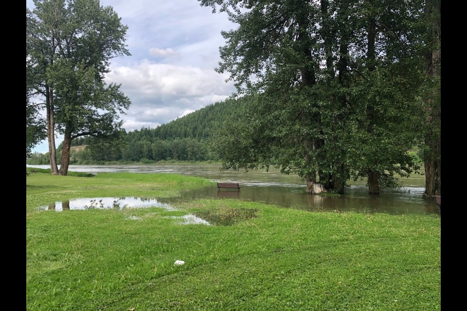
Meanwhile, several parks are closing due to localized flooding.
This includes Cottonwood Island Park and the Heritage River Trail from the Cameron Street Bridge to Taylor Drive, Paddlewheel Park and Hazelton Park.
Signs and barricades have been put in place in these parks and staff are continuing to monitor the nearby water levels
Nechako Riverside and McMillan Creek Fishing parks are still open for the public.
For more information on the Fraser River and its rising water levels, you can visit the BC River Forecast Centre website and you can also check out PreparedBC on what you may need in your emergency kit.


