
Today there will be increasing cloudiness in the morning with wind becoming south 20 km/h near noon and a high of - 4 C wind chill -15 C this afternoon. Light snow changing to snow at times heavy this evening. Amount 10 cm with wind south 20 km/h. Temperature steady near - 4 C and wind chill near minus 10.
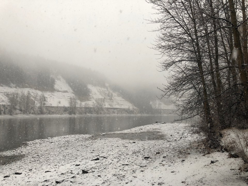
Prince George is still under a winter storm warning.
Snowfall amounts from 15 to 25 cm are expected today through Monday.
A frontal system, moving across the northern Gulf of Alaska will spread significant snowfall amounts from central BC to the southern Yukon. Snow will begin this morning from Teslin to Dease Lake and reach Watson Lake to Prince George by early this evening. Snow will ease for most areas on Monday afternoon.
Rapidly accumulating snow could make travel difficult over some locations. Prepare for quickly changing and deteriorating travel conditions. Visibility may be suddenly reduced at times in heavy snow.
Have a sunrise photo of Prince George? Email it to [email protected], and we'll feature it in Rise and shine, Prince George! Don't forget to include the date the picture was taken, the location and your full name.


