
Now that one of the warmest Octobers Prince George has ever experienced has come and gone, November has arrived like cold slap to the face.
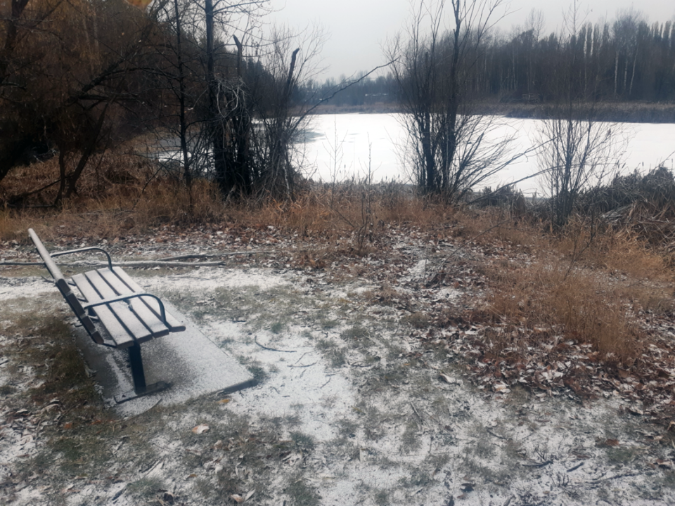
Winter-like conditions are predicted by the weekend with snow and near-record cold in the forecast for Monday, so get ready for it.
“It’s looking like it’s going to be a pretty stark shift into wintery conditions next week and we’re going to see some Arctic air come down through the weekend, dropping temperatures well below normal for next week,” said Environment Canada meteorologist Bobby Sekhon.
“On Monday we’re forecasting -14 C as the high and if that actually comes true that would be a record for the lowest daytime high on that day (Nov. 7). It’s looking like a very cold period for this time of year with the Arctic air early next week.”
The lowest maximum temperature for Nov. 7 in Prince George is -12.8 C, set in 1945. The record low for that day is -31.6 C, also in 1945.
The predicted high for Sunday in Prince George is -12 C with a 30 per cent chance of flurries and a nighttime low of -21 C and it won’t get much better as the week progresses.
“It’s a little bit early to see temperatures come down that far but nonetheless, that’s looking to be the case anyways,” said Sekhon. “Really it’s going to be cold throughout the province next week. The true Arctic air seems to be going as far south as the central Interior and then on the southern Interior it’s a little more modified.
“Looking at the trend it looks like to coldest period will be Monday through Friday or Saturday of next week and then things should start to rebound a little bit, but still probably remaining below average right through the middle of the month.”
It seems hard to believe that only a month ago, on Oct. 1, we set a new record high temperature of 23.5 C. For the first 10 days of October the thermometer at Prince George Airport reached at least 17 C and there were two more days (Oct. 3 - 21 C; Oct 17 – 21.6 C) when we hit the 20-degree mark.
Sekhon said the long-range forecast models don’t dip into the minus-30s but that is certainly possible this time of year.
“Prince George is going to be on the colder side of that system that moves through on Thursday and it’s hard to say how much snow we’ll get but certainly a few centimetres is not out of the question,” said Sekhon. “It’s not out of the question whether it’s going to be enough for a snowfall warning.”
After a mostly sunny high today of 1 C, the temperature in the city will drop own to -9 C overnight and the sun will return Wednesday but it won’t rise above the freezing mark with a high of -3 C. Environment Canada is expecting snow most of the day on Thursday, with accumulations of about five centimetres and temperatures holding steady around 0 C.
A mix of sun and cloud is predicted for Friday with a high of 4 C and a low of -6C and there’s more snow in store for Saturday - a 60 per cent chance – with a high of -2 C and the low dipping to -17 C.
Gardeners hoping to preserve their perennials would be wise to cover up their plants with a layer of mulch, leaves or straw, especially if there’s no snow cover before it gets really cold.


