
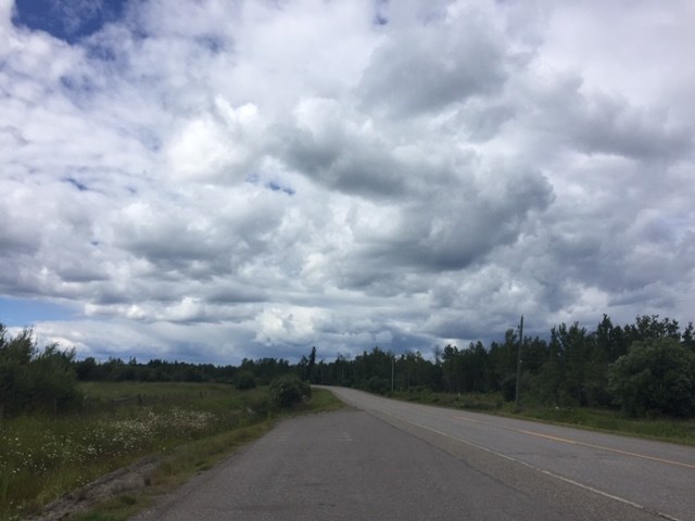
Environment Canada says there's a strong risk of thunderstorms later today (July 31) for Prince George.
As a result, the service has issued a severe thunderstorm watch for the city and its surrounding region, while also removing its special weather statement at the same time.
The switch was recorded at 10:20 a.m. as high-speed wind, large hail and heavy rain are possibilities for the afternoon and evening ahead of the B.C. Day long weekend.
Earlier today, Environment Canada's forecast called for a 70 per cent chance of showers in Prince George today
This is despite reaching a high of 30 C, but its set to feel like 34 C with the humidity.
If thunderstorms take place, the service says it's likely to end overnight with a reduced 30 per cent chance of showers.
"Very strong wind gusts can damage buildings, down trees and blow large vehicles off the road," reminds Environment Canada.
"Intense lightning is likely with any thunderstorm that develops. Heavy downpours can cause flash floods and water pooling on roads. Lightning kills and injures Canadians every year. Remember, when thunder roars, go indoors!"
The Stuart-Nechako, Bulkley Valley and Lakes District, and Chilcotin regions have been issued severe thunderstorm watches as well.
In the Cariboo, conditions are slightly different with heat warnings between Quesnel and 100 Mile House.
10:19 EnvCanada issued watch #Thunderstorms #PrinceGeorge #BCStorm https://t.co/PB9rSydmcr
— PrinceGeorge (@ECAlertBC79) July 31, 2020


