
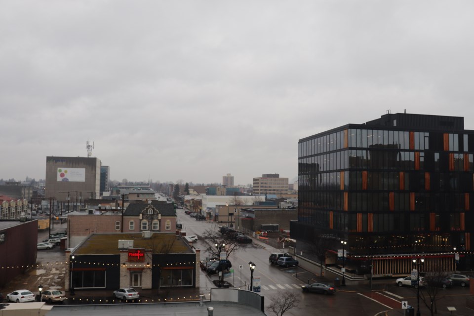
Prince George had a mild and wet November. It was so wet that it was actually the fourth wettest November on record.
“If we look at the total precipitation for the month, we recorded 90 mm of rain and the normal for the month is 55 mm,” says Environment Canada meteorologist Matt MacDonald. “So it was almost twice the normal amount of rainfall for November and it was the fourth wettest November since records started in 1943.”
And all that precipitation did not turn to snow because of how warm the temperature was.
“If we look at the average temperature for the month, the average temperature was 0.5 C, and that was a full two degrees milder than normal,” MacDonald tells PrinceGeorgeMatters.
He says the last week of November was quite warm in particular.
"We got into daytime highs of six and seven degrees. Normal for the last week of November, there are highs of -3 C, so we were about nine degrees warmer than normal.”
Prince George’s warm and wet November is in stark contrast to the previous month, which was the driest October on record. In October, there was about 16 mm of precipitation and the normal is 63.3 mm.
MacDonald says it won’t be long before temperatures drop as there is a ridge over northern B.C. pushing cold arctic air southwards.
“As the clouds break off later on in the week, particularly Wednesday, Thursday and Friday, we will only be getting up to highs of about -10 C and the overnight lows will be approaching -20 C,” he says.
As for when we'll see the return of those little white flakes that fall from the sky? MacDonald says next week is when we'll have consistent light snow.
“No huge snowfall amounts but maybe like a centimetre or two for each and every day throughout the week, next week so it should turn things white again instead of the grey you see outside there."


