
Warm and wet weather is in the Prince George forecast as we say goodbye to 2019 and blast into the next decade.
"It's certainly warmer than normal for the current period and it's not about to stop," said Environment Canada meteorologist Armel Castellan. "We still have 2 1/2 days here with a pretty solid frontal system hitting the coast... so on-again, off-again rain and snow for the Omineca and Prince George (regions)."
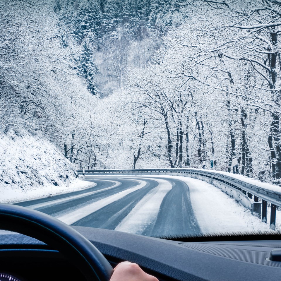
Snow or rain is predicted for Tuesday with a high of 2 C expected, dropping to 0 C on New Year's Eve. Those showers will continue on the first day of 2020 with a predicted high of 3 C. The clouds will dissipate later that day and that will drop the low to -10 C.
Normal for this time of year are highs of -7C and lows of -16 C.
"For travelers heading out, things will probably warm up enough that it will transition to rain in the mid-morning or afternoon (Tuesday) and on Wednesday as well, whatever is left over, which will be much less, would probably fall as showers as opposed to flurries, and then things will change and will be quite closer to normal on Thursday."
Sunny skies are expected on Thursday with a high of -5 C and a low of -12 C expected. The snow will return on Friday with a high of -1 C, dipping to -10 C at night. On Saturday, a mix of sun and cloud is predicted with a high of -7 C and a low of -11 C. Environment Canada predicts a high of -6 C for Sunday and a 30 per cent chance of flurries.
B.C. is under the influence of what Castellan called an "atmospheric river," a narrow band of moisture-laden air, also referred to as a "pineapple express," because it originates from subtropical areas such as Hawaii. The fast-moving low-pressure system will bring as much as 30 cm of snow to parts of the Interior and 100 millimeters of rain to the Vancouver area, raising flooding concerns.
"It usually has less impact on the Interior, but they're actually projected to happen more often and certainly with more intensity as the climate changes," said Castellan. "We typically see two or three in a given winter, November through January. Usually the freezing levels go quite a bit higher on (Vancouver Island) and the coast and sometimes into the southern Interior. There have been examples of an atmospheric river giving freezing rain and even rain up into northern Yukon and northern Northwest Territories."
December in Prince George has been warmer than normal with slightly below-average precipitation. The average mean temperature for the city this month is -7.2 and through Sunday we've experienced an average of -5.6 C for the month, about 1.5 degrees warmer than normal. That's been the trend throughout B.C. and into the Yukon, except for northern Yukon, which has been close to normal or colder than normal.
Normal precipitation for December, which dates back to 1943, is 43.9 mm (47.7 cm of snow and 5.6 mm of rain) and as of Sunday the total at Prince George Airport was 33.8 mm, 77 per cent of normal. The city averages 595 mm of precipitation per year and had received 518 mm through Sunday. Castellan projects this will be one of the top-20 driest years on record.
"It's certainly drier than normal, which is actually the trend of almost all of B.C. and the Yukon," said Castellan. "Some places (such as Watson Lake) are on track for the driest year on record."
Sea surface temperatures in the Pacific are showing neither El Nino or La Nina conditions as we head into 2020 and meteorologists jokingly refer to this as a La Nada (nothing) year. In the long-range forecast, it looks like cold weather is coming in January.
"A neutral El Nino year, particularly in the winter when it affects B.C. the most... means that we have to look at it week by week," said Castellan, from his office in Victoria. "The first week of January in your neck of the woods looks to be a bit warmer than normal, but then the week after from Jan. 6-13, particularly for the north, there's quite a strong signal for colder than normal. It's been much colder in the sub-Arctic and Arctic the last few weeks, so we're going to see that influence there getting a lot cooler than normal certainly the Peace Country, edging into the Williston and Prince George area near Valemount.
"As you get that cool continental Arctic air then you don't have as much of that active Pacific air so you can expect that second week of January to be much drier than this coming week."


