
It’s not quite an X on a treasure map, but a series of maps released by Geoscience BC this month could lead mineral exploration firms to gold deposits between Prince George and Quesnel.
The six sets of three maps can help industry, government and Indigenous groups understand what lies beneath the glacial sediments in the area and better assess the potential for mineral exploration, a statement issued by the not-for-profit research group said. The maps released this month are for the Swift River, Cottonwood, Pinchi Lake, Hixon, Pitoney Lake and Wansa Creek areas. Last June maps were also released for the Saxton Lake, Summit Lake, Tezzeron Creek, Tudyah Lake, Pinchi Lake and Philip Lake areas.
"The Central Interior Copper-Gold Research projects play a vital role focusing mineral exploration in B.C.,” Geoscience BC vice president Christa Pellett said in a statement issued on Tuesday. “The new maps are central to this research and will support the CICGR goal to improve understanding of surficial geology of central British Columbia."
Each set of three maps provides information about the surficial geology (material lying on top of the bedrock), glacier drift thickness and till sampling suitability of the area.
The Central Interior Copper-Gold Research program is focused on a 9,000 sq. kilometre area centred on Prince George and including Fort St. James, Mackenzie, Quesnel, Vanderhoof and Williams Lake. The area includes the Quesnel terrane, which holds significant mineral deposits in other parts of the province.
In an interview with the Citizen in January, Geoscience BC vice-president Richard Truman said the multi-faceted research project could spur mineral exploration and eventually commercial mines.
“It’s a long process to go from a project like this to an active mine. It can take 10, 20 or even 50 years,” Truman said in January. “If we talk about finding a needle in a haystack, this is about maybe helping locate where the haystack is.”
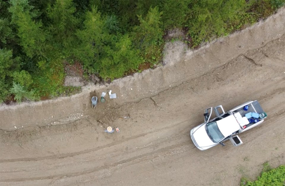
To date the project has re-analyzed more than 1,000 previously-taken till samples with the latest technology, and hundreds of samples remain to be studied. Geoscience BC expects to release the final reports on their research later this year.
Researcher Dave Sacco is scheduled to provide a technical talk on the project at the Kamloops Exploration Group (KEG) conference on Wednesday.
Geoscience BC is also hosting a non-technical webinar for the public on April 21 at noon.
Geoscience BC is a not-for-profit society that generates independent, public geoscience research and data about British Columbia’s minerals, energy and water resources.
For more information about the mapping project can be found online here.
