
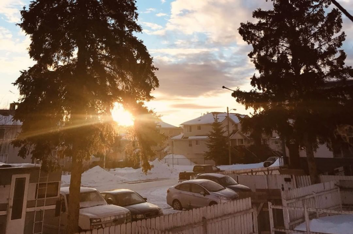
Even though we are currently dealing with temperatures dipping below -30 C as February kicks off, last month was actually the 10th warmest on record.
Environment Canada meteorologist Bobby Sekhon says January saw a mean temperature of just -4.4 C with the normal being -7.9 C.
“So that is a difference of about three-and-a-half degrees,” says Sekhon. “For precipitation, it was near normal. We got about 88 per cent of the precipitation that we normally do with Prince George.”
January received 46.5 mm of precipitation and the normal is slightly above at 52.9 mm.
But there was one standout day as Jan. 31 received 13.4 mm of precipitation, breaking a record previously set in 1955 when the record was 6.9 mm.
“That is one of those where the record was a low record for that day,” says Sekhon. “On the day before the record is 19.1 mm from 1957 so that record is more of a product of the exact day it fell on.”
No temperature records were broken in January, as the cold spell didn’t make its way to Prince George until February.
“We had a pretty warm end to January and it wasn’t until the Feb. 2 when we started to get into the arctic air in the Prince George area.”
Sekhon says the cold temperature is going to be settling in for a while.
“The coldest temperatures are going to be early this week, today and tomorrow, and it will start to moderate later this week even though it will remain below normal,” says Sekhon, adding that it looks like we are finally settling into winter.
“Since we are seeing a stark contrast from a warmer January to a cold February at least for the first couple of weeks, people should take caution if they are going to be outside for long periods of time or if they are going to be travelling to make sure they have their emergency kits,” he notes.
“Stay warm and keep an eye on the forecast.”


