
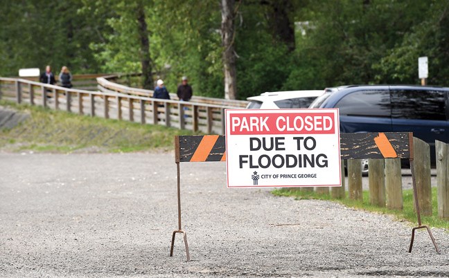
The Fraser River is set to burst its banks this spring.
Runoff in the range of 132% of normal at Shelley is in the cards during April-July, according to the B.C.'s River Forecast Centre's April 1 snow survey and water supply bulletin, due in large part, to extremely high snow packs recorded in the Upper Fraser.
Thanks to significant snowfall during the first and last week of March, snow pack in Upper Fraser East grew to 147% from 135% over the month, while the level in Upper Fraser West declined to a still-significant 129% from 135%.
A handful of records were also recorded in the region, led by the measuring station at Longworth in Upper Fraser East, where 1,378 mm was reached, 179% of normal. Records were also noted at Horsefly Mountain (735 mm, 158%) and Yanks Peak (1215 mm, 153%) in the Middle Fraser-Quesnel region and at Cook Creek (789 mm, 136%) in the North Thompson.
Snow pack in those regions added up to 131% and during the freshet roughly two-thirds of the river's flow originates from those areas. It could translate into trouble downstream as well.
"Historically, there are only a few years where the snow pack in the major tributaries of the Fraser River have all been high at the same time (these years include 1972, 1974 and 1999)," the agency says in the bulletin. "Given the importance of the Upper Fraser and Thompson River for the overall freshet flow on the lower Fraser River, this means the seasonal flood risk for the entire Fraser River is elevated."
Weather going forward remains the wild card. On that note, the agency said short-term weather forecasts are indicating dry and warm conditions going into the Easter weekend will be followed by a return to cooler weather due to a northerly flow while mid-range forecasts are favouring cooler-than-normal to near-normal temperatures.
"Cooler weather over the next few weeks may delay the onset of melt, which can increase flood risks as more snow melts into May and June," the agency says. "Warmer temperatures into the Easter weekend are expected to bring the onset of the freshet season with low elevation snow melt and the start of rising stream flow, particularly in smaller creeks and low elevation areas."


