
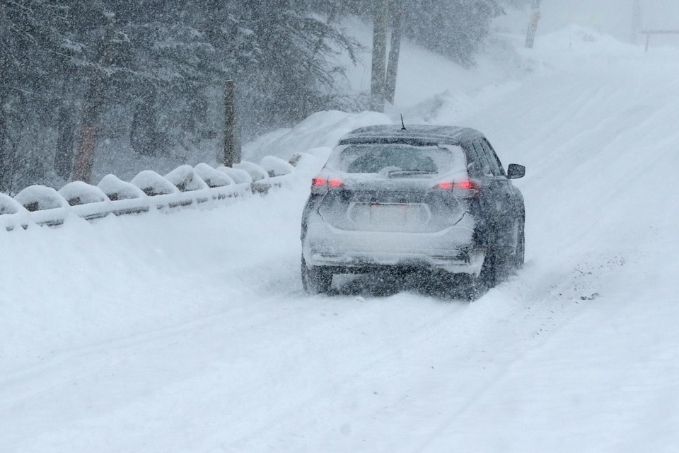
Friday’s good news is the extreme cold warning has ended, bad news (for some) the Prince George region could see up to 15 cm of snow fall by tonight.
An incoming Pacific frontal system will bring the heavy snow today.
Locations: North Okanagan, Shuswap, West Columbia, Trans-Canada Highway - Eagle Pass to Rogers Pass, North Thompson, Cariboo, Prince George, Stuart-Nechako, Bulkley Valley and the Lakes, Williston, Hwy 97 - Pine Pass and B.C. Peace River - South.
So at least it’s not just us.
The hazards listed on the Environment Canada site for Prince George said the hazard is challenging travel conditions due to the high volume of snow.
Snowfall will ease this evening as the front pushes through. The last region to see the abatement of heavy snow will be Williston and Pine Pass where snow will continue through the night.


