
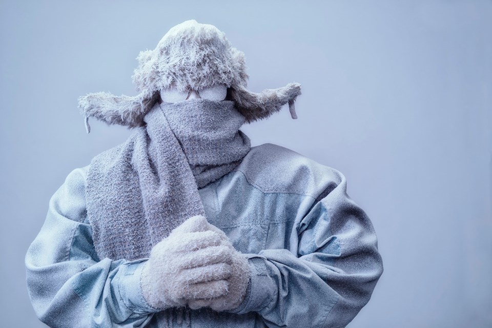
That ice fog and head-pounding cold that greeted us early Tuesday morning was a good indicator.
We took the plunge to a new record low temperature of -40.7 C
Rounding up, as meteorologists do, that’s -41 C. Brrrrr!
For three hours Tuesday morning, starting at 6 a.m., the Prince George Airport thermometer hovered around that -41 mark, making this the coldest Dec. 20 on record.
It blew away the former record low of -37.4, set in 1990.
Fortunately for us all, it has remained a calm day, with little of no wind, and the ridiculously low wind chills have yet to happen. But be warned, that could happen tonight.
Winds up to 15 kilometres per hour are in the forecast for tonight and Wednesday morning and with the overnight low temperature dropping down to -36 C, the wind chill will be -42 C tonight and -49 C overnight and early Wednesday morning.
That’s dangerous cold, bad enough to produce frostbite on exposed flesh in minutes. So bundle up if you have to go outside.
Risks are greater for young children, older adults, people with chronic illnesses, people working or exercising outdoors, and those without proper shelter.
Dress in layers that you can remove if you get too warm. The outer layer should be wind resistant.
Another cold day is in store for the city Wednesday with a high of -28 C and a light wind throughout the day that will make it feel like -34 C.
It won’t feel much warmer on Thursday with a high/low of -25 C predicted and with that will come periods of snow. The snow is expected to continue Friday and the temperature that day will hover around -18 C.
Saturday (Christmas Eve) will feel like summer, compared to earlier in the week, with a high/low of -10C/-14 C and the warming trend will continue on Christmas Day with a high of -10 and the low -11 C.


