
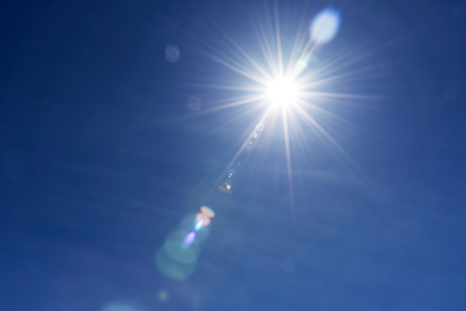
It looks like the early summer weather the Prince George area enjoyed in the past isn’t happening this year but we can expect a traditional summer of heat and sunshine for July and August, the Weather Network expert said.
“The weather pattern that we’ve had during spring will continue well into June,” Doug Gillham, meteorologist at the Weather Network, said. “But of course temperatures are climbing – so it doesn’t mean it will feel like April and May but an overall cooler pattern. Last year June was very hot so this June will be quite a contrast. So we’ll continue with the cool pattern and most likely above normal precipitation for June and then we think we’ll settle into more of a normal July and August, which means we’ll have some heat and some dry weather.”
Last year’s heat and fire and drought and smoke took over the story, Gillham added.
“But this year we’ll see less extreme heat and enjoy more of a typical summer,” Gillham said. “Last year’s heat that reached 38 degrees Celsius – there’s such hardship with that – so there’s definitely some positive signs to this year’s summer forecast – and that doesn’t mean there won’t be any hot weather this summer – it just means it won’t steal the show.”
Looking at the environmental aspect of a cooler spring and summer Gillham brings up some good points.
“I don’t know anyone who enjoys a cool wet spring and yet when you look at all the negative consequences of what happened last year across the region there’s definitely benefits of less heat and the cooler spring and the above normal precipitation,” Gillham said. “There’s just a lot more snow in the alpine regions so we’ve got more of a delayed start to the wildfire season – every summer’s going to have some wildfires - you can never predict human behaviour, which contributes to that – but at the very least it’s a delayed start, which means a shorter wildfire season.”
The cooler and wetter spring pattern allowed the alpine snowpack to continue to build well into May.
“What we don’t want is a sudden flip to heat because the snowpack is so much higher than normal,” Gillham said. “So what we want is a cool June for a more controlled melt. And even a cool June will melt the snow. The worry would be is that hot weather comes before much of the snowpack melts because a heat wave on top of above-average snowfall would result in flooding. So what we see for the next few weeks is encouraging but we’re not really out of the woods until we can get past that.”
Precipitation for the Central Interior and Northern Interior region is near normal with above normal set for the western part of the province, Gillham said, who is worried about wildfires started by humans.
“Every summer has some wildfires,” he said. “But last year became a tinderbox so people still can’t let their guard down – still be careful – but overall we’re encouraged and optimistic that there will be a whole lot less fire activity and smoke. Even though there is deep soil moisture in the ground it doesn’t mean that a careless campfire won’t become a wildfire. So please be careful.”


