
Several First Nations in the Cariboo are expressing dismay they will not be allowed to participate in upcoming aerial wildlife surveys by the B.C. Government to collect data on wildlife populations.
The Ministry of Forests, Lands, Natural Resource Operations and Rural Development confirmed its staff is not flying with anyone else, including contractors, volunteers, university graduate students, First Nations representatives or staff from other ministries.
“Ministry staff would seek opportunities to involve First Nations representatives on aerial wildlife survey flights – as they have done for many years – if there wasn’t a global pandemic occurring and corresponding safety protocols were not in place,” a spokesperson said in an e-mail.
Northern Secwepemc communities said while they understand the severity of the pandemic and are in full support of restrictive procedures that ensure the health and safety of the public, other organizations such as Fisheries and Oceans Canada continue to operate and invite the participation of community members with additional safety restrictions in place.
“When you talk about First Nation inclusion and using that historical and traditional knowledge on how we preserve the populations so we can continue to harvest them generation after generation, how are we not involved in that discussion?” said Williams Lake First Nation Chief Willie Sellars.
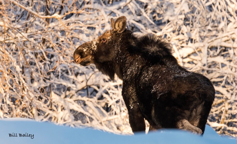
Conducted annually, the wildlife surveys are expected to begin in January 2021 and be completed in March 2021.
First Nations representatives in the Cariboo have participated in past aerial surveys, and the spokesperson said the ministry has communicated to them that staff will seek opportunities to involve First Nations participants in future aerial wildlife surveys when observers are once again able to take part in the flights.
Sellars said it comes down to trust.
“We want to be able to trust those bodies that are tasked with watching over our resources, but if we’re not involved, how can we trust those bodies? How can we trust DFO? How can we trust the different ministries?” he said.
“That’s the frustrating piece.”
First Nations communities, including Sellars’s, rely on the aerial surveys’ data to establish strategies and programs that will aid in conservation and stewardship measures. The information can also be used to acquire more funding to pay for long-term protection of the resources within their traditional territories, noted the Northern Shuswap Tribal Council (NSTC).
NSTC natural resources manager, Kate Hewitt, estimates the 2021 aerial surveys within the Cariboo cover nearly 80 per cent of Northern Secwepemc communities’ traditional territory.


