
A ban on campfires will come into effect throughout the Cariboo Fire Centre starting Tuesday at noon to help prevent human-caused wildfires, the B.C. Wildfire Service said.
It will last until the end of September or until the pubic is otherwise notified.
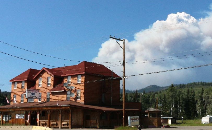
"The Cariboo Fire Centre is experiencing hot and dry weather," BCWFS said. "Although thundershowers are expected, temperatures are forecasted to remain warm. The fire danger rating in this region is generally 'high,' with some pockets of 'moderate' and 'extreme.'"
Specifically, prohibited activities will include open fires and stubble or grass burning of any size, as well as use of tiki torches and chimineas, fireworks, including firecrackers, sky lanterns, burning barrels or burning cages of any size or description, binary exploding targets used for target practice and air curtain burners (forced-air burning systems.
The prohibitions apply to all public and private land and anyone found in contravention may be issued a ticket for $1,150, required to pay an administrative penalty of $10,000 or, if convicted in court, fined up to $100,000 and sentenced to one year in jail.
And if the contravention causes or contributes to a wildfire, the person responsible may be ordered to pay all firefighting and associated costs.
The Cariboo Fire Centre stretches from Loon Lake near Clinton in the south to the Cottonwood River near Quesnel in the north, and from Tweedsmuir Provincial Park in the west to Wells Gray
Provincial Park in the east.
- The Shovel Lake fire near Endako has grown to 2,000 hectares, BCWFS said Monday, well up from 291 hectares reported Saturday and is listed as out of control.
In all, 75 personnel were on site Monday, assisted by 17 pieces of heavy machinery, air tankers, and five helicopters.
Most of the growth was to the east and northeast, information officer Carolyn Bartos said.
"The main objective today [Monday] is to prevent growth to the south to protect the nearby community, also crews are working to establish control lines," she added.
As well, the Bulkley-Nechako Regional District issued an evacuation to those living and working in an area northeast of Endako, bordered by the Augier Main Forest Service Road to the west, Highway 16 to the south, the Trout and Sutherland Forest Service Roads to the east and Sutherland River Park to the north.


