
The spring and summer are shaping up to the uneventful when it comes to flooding risk along the Upper Fraser.
According to a forecast included in a bulletin the River Forecast Centre issued Wednesday, runoff is expected to be at or slightly below normal over the next six months.
Volume of the Fraser River at McBride is forecast to run at 94 per cent and at 96 per cent at Shelley and to measure at 100 per cent where the McGregor River runs past Lower Canyon. Further south, the Quesnel River is expected to run at 98 per cent where it reaches Quesnel.
As of April 1, snowpack in the Upper Fraser West stood a 111 per cent and at 87 per cent in Upper Fraser East, 95 per cent in the Nechako basin and 103 per cent in the Quesnel basis.
Snowpack in the West Road-Chilcotin sub-basin was 241 per cent, up from 139 per cent as of March 1 due to delayed melting as a result of cooler weather.
The wildcard remains the weather.
"Basins with normal to slightly below normal snow are still at risk for spring flooding if adverse weather occurs," the bulletin says.
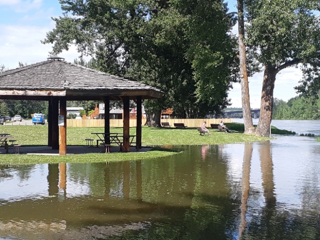
The snow melt last summer was enough to prompt the RFC to issue high stream flow advisories for both the Nechako and Fraser in late June. And during the same month in 2021, the city issued evacuation notices to Farrell Street residents.
And during the 2021 Canada Day long weekend a triple-whammy of high snowpack, a heat wave and then torrential rain sparked a flash flood that wiped out much of the Berg Lake trail in Mount Robson Provincial Park. It will remain closed past Kinney Lake for the 2023 season.


