
VANCOUVER — The official start of spring is under three weeks away but Environment Canada says another winter blast is hammering northwestern parts of the province and is expected to hit the south coast before Thursday.
Snowfall warnings cover the north and central coasts and regions along the boundary between B.C. and the Yukon.
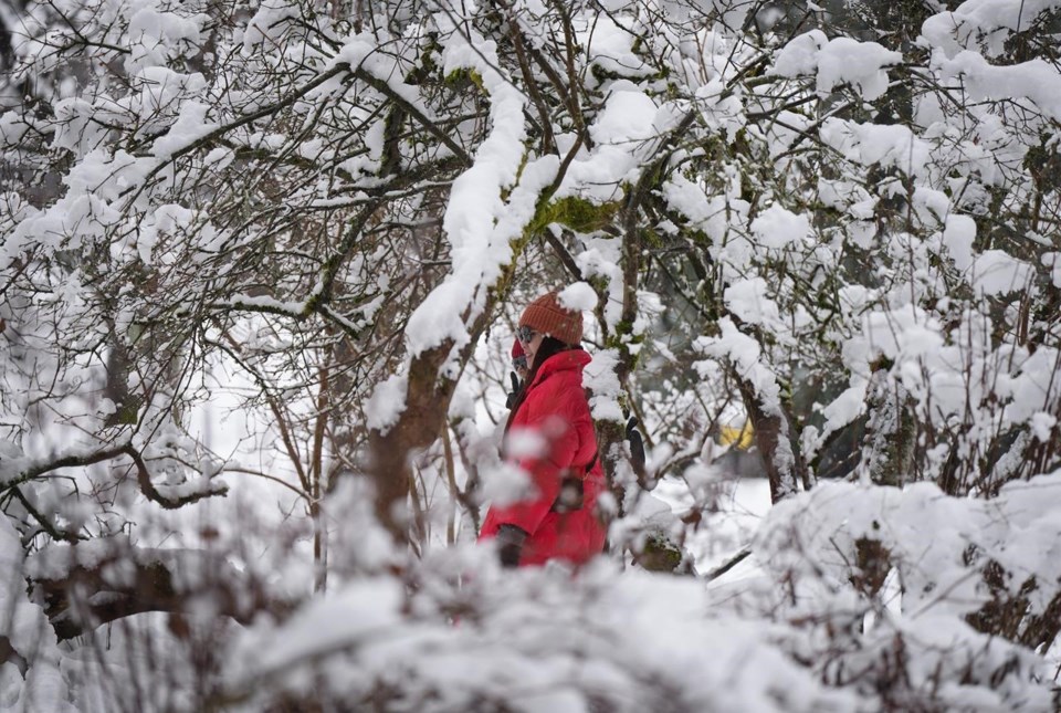
Ten to 30 centimetres of snow is expected, while winds gusting to 110 km/h could batter coastal sections of the central coast before easing later today.
Special weather statements are posted for the inner south coast, including Howe Sound, Whistler, Metro Vancouver and the Fraser Valley.
The weather office says five to 15 centimetres is expected over higher elevations of the North Shore, west and central sections of the Fraser Valley and along the Sea-to-Sky corridor.
The accumulations come as forecasters say Tuesday's unexpected snowfall left 15 centimetres at Victoria's airport and eight at Vancouver International Airport while areas from North Cowichan to Squamish and Pitt Meadows recorded between three and six centimetres.
Counting Monday's storm, Environment Canada says total snowfall at Vancouver's airport in February was just under 22 centimetres, roughly 15 above normal, while totals since November have reached 78 centimetres, more than double the usual amount.
This report by The Canadian Press was first published March 1, 2023.
The Canadian Press


