
With fire still burning in Northern B.C., the Peace River Regional District has begun development of community wildfire resilience plans for their four electoral areas, mapping wildfire risk and identifying high flammability areas.
The plans also tie into the new Emergency Disaster and Management Act.
The plans are a mandatory requirement for further FireSmart funding from the Union of BC Municipalities, and Diamond Head Consulting has been contracted by the PRRD to help develop the plans with the support of protective services staff.
Forester Conor Corbett of Diamond Head gave an overview of the plans being developed at the regional district's Jan. 25 board meeting.
Corbett spent two weeks last September driving around the Peace Region to get a better sense of how areas and people could be impacted by wildfire. Community engagement sessions were also hosted in the electoral areas to hear concerns from residents.
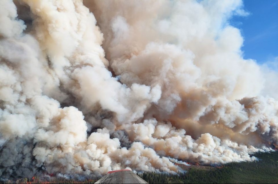
“The forests in the Peace River Regional District are extremely flammable, and I’m talking about the forests in the PRRD as a whole,” he said. “These forests are naturally prone to severe, large wildfires that are really difficult and sometimes not even possible to suppress.”
More than 100 wildfires are still listed as burning in B.C., with extreme drought and dry winter conditions throughout December. 80 percent of those fires are in Northeast BC, and are difficult to reach.
The 2023 fire season burned more than 28,000 square kilometres, and fires have continued to burn underground, burrowing into fuel sources such as peat or bogs.
Fort Nelson in the Northern Rockies and the Peace Region have the highest level of drought in the province, and had a rough wildfire season, with the Donnie Creek complex being B.C.'s largest wildfire ever when it surpassed 5,300 square kilometres this past June.
Wildfire risk is technically different from wildfire threat, explained Corbett, with threat characterized by potential flammability and risk characterized by radiant heat and ember ignitions. Embers can travel several kilometres from a fire, sparking new ignitions.
“For wildfires to directly impact our communities, they need to be quite close, when you’re thinking about in the landscape, and that’s why we really focus on that wildland urban interface,” said Corbett. “We’re examining that wildfire threat, that vegetation flammability, and identifying where it is in relation to the things we’re trying to protect.”
The plans will be in a draft state until they receive final approval from a community resiliency committee at the Union of BC Municipalities, and the BC Wildfire Service.


