
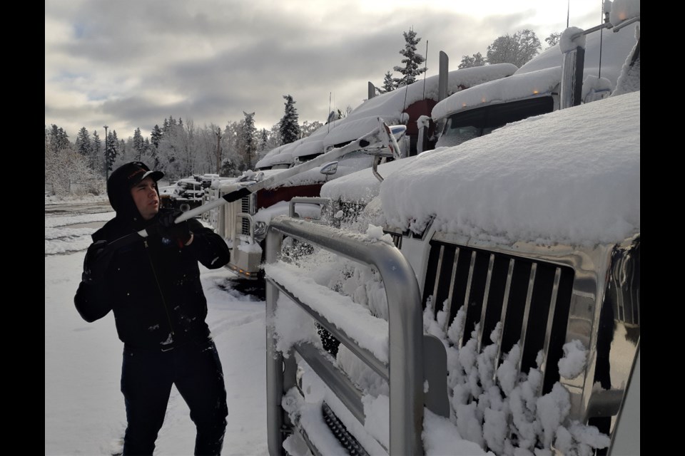
Old Man Winter came back with a vengeance overnight and dumped a white blanket over the city for the morning commute on Monday.
City residents had to scramble to find shovels to clear driveways and brooms to get the snow off their vehicles. The second snowfall of the season brought close to 10 centimetres of snow, enough of the white stuff to turn roads into skating rinks, and it sent motorists who have waited a bit too long scurrying to get their snow tires put on.
Get used to it. There’s more snow and cold temperatures on the way for later this week. In fact, we could be heading for record-breaking lows by Thursday.
After a bit of break in the weather the next few days, Environment Canada is predicting flurries to return to Prince George Thursday night, with lows dipping to -11 C that night and -13 C Friday and Saturday. There’s a 60 per cent chance of flurries Thursday night and all day Friday.
The record lows for the city for Oct. 22-24 were all set in 1919, at the height of the Spanish flu pandemic. It hit -12.8 C that year on Oct. 22, -15.6 C on Oct. 23 and -13.3 C on Oct. 24.
High pressure to the north is allowing cold air from Arctic regions to drop into Western Canada and that’s bringing the unseasonable temperatures for B.C. and the Prairies. The average high in the city for this time of year in 8.8 C and the average low is -0.7 C.
“We’re expecting a low pressure system to pass through southern B.C. on Thursday and Friday and some of the cloud and flurries associated with that system might brush as far north as Prince George but some models have it further south, which means you won’t see the cloud and flurries but you’ll have clear skies or partly cloudy skies and that allows it to get even colder,” said Environment Canada meteorologist Carmen Hartt.
“I think there certainly is good potential to break records at the end of the week. I think Friday will be the coldest day and then there might be a bit of rebound next week, not warm, just back to normal. It should be dry.”
Hartt says La Nina conditions are forecast which means colder-than-normal for the rest of fall and winter and that increases the likelihood of a longer wait until the spring thaw.
Today’s high is expected to reach 4 C under a mix of sun and cloud and there will be a 40 per cent chance of rain showers on Tuesday with a high of 3 C and a low of -6 C. The mercury will hit 1 C on Wednesday but is not expected to rise above the freezing mark the rest of the week after that.


