
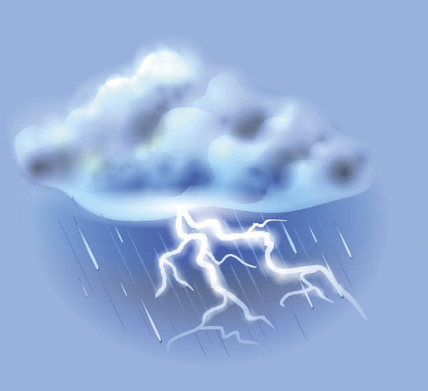
A severe thunderstorm warning for communities east of Prince George has ended.
Environment Canada downgraded the threat posed by a north-south line of severe thunderstorms which had been predicted to hit communities along Upper Fraser Road from Newlands to Hansard and Highway 16.
The eastwardly-tracking system was packing very strong wind gusts, nickel-size hail and heavy rain, with the potential for flash-flooding, but the full intensity of the storm missed Prince George. A heavy downpour began drenching the city today at about 2:30 p.m., just before the official arrival of the summer solstice at 2:44 p.m. PT, but the rain lasted only about an hour.
Sunday’s forecast calls for a mix of sun and cloud and a high of 19 C. A cloudy day is predicted for Monday with a high of 19 C and rain at night, with the low dipping to 11 C. More rain is coming on Tuesday with a high of 20 C and a low of 7 C.
The sun will return on Wednesday with a forecast high of 21 C and a low of 9 C, with mostly clear skies on Thursday and a high of 23 C.


