
Prince George could spend the winter in a bit of a "battle zone" according to a meteorologist.
In providing a long-range forecast for the area, Brad Rousseau of The Weather Network said a La Nina - where the Pacific ocean's water off the coast of South America trends colder than normal - will set the tone.
"With this type of pattern you get an active storm track across the Pacific Northwest through the state side but that still brings low pressure systems down across the southern part of the Canadian Prairies," he said.
"This allows shots of cold air to come drifting southward. You're kind of on the cusp as to how many of these cold shots get to your neck of the woods and how often the Pacific air mass comes into play, so you're in that battle zone in between the two."
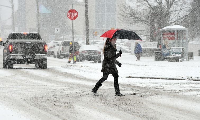
The situation makes forecasting for this area "tricky" but Rousseau said we can expect slightly cooler than normal temperatures, hovering around -3 C for the average daily high, and about normal snowfall of 130 cm.
Compared to last winter, that translates into slightly warmer temperatures but significantly more snowfall than the 97 cm delivered during 2016-17.
Rousseau's prediction falls about in line with the one an AccuWeather meteorologist provided in late-October.
University of Northern British Columbia environmental studies professor Stephen Dery said there was a lot of snow in the McGregor mountain range this past weekend and predicted more snow for the higher elevations countered by rain lower down.
"It looks like the wet pattern is going to persist into December," Dery said.


