
Federal environmental regulators have signed off on BC Hydro's efforts to control sediment and erosion into the Peace River arising from Site C dam construction.
In a Jan. 9 letter to the dam project's head of environmental compliance, Canadian Environmental Assessment Agency (CEAA) officials confirmed they would not be taking any further action against the project related to a warning issued last month.
Had Site C been found in breach its approval under the Canadian Environmental Assessment Act, BC Hydro could have faced fines up to $400,000.
On Dec. 19, CEAA officials informed BC Hydro of their intent to issue an order after it was found a contractor did not have erosion and sediment control supplies at three worksites.
Under the dam's Environmental Protection Plan, contractors are required to stock crushed gravel, straw, silt fencing and sandbags to help control any erosion caused by construction.
Excessive in-river sediment, which can harm fish populations, has been a issue with the dam since last year.
A series of photos provided to federal regulators showed those supplies have now been placed at the appropriate worksites, BC Hydro says.
Those sites include the temporary construction bridge on the dam's south bank over the Moberly River, as well as right cofferdams and drainage tunnels.
According to the Jan. 9 letter, the federal department is satisfied Site C is now in environmental compliance.
"Following the agency's review of the photographs included in the letter, the agency is satisfied that BC Hydro has stocked the erosion and sediment control contingency supplies as required," Senior Enforcement Officer Nicolas Courville wrote.
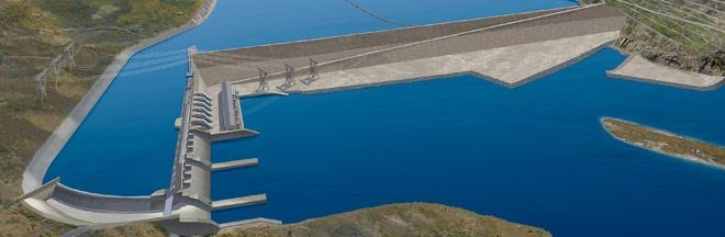
Site C is an $8.8 billion hydroelectric project under construction on the Peace River near Fort St. John. It would flood around 83 kilometres of river valley, including sites sacred to area First Nations and farmland, and generate around 1,100 megawatts of power.

