
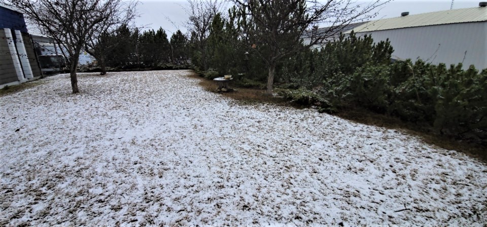
It was a bit of a shock to the system to wake up and see snow on the ground Thursday morning, but don’t despair.
After a brief return to winter, it’s going to feel a lot more like spring in Prince George by the end of the weekend.
The ovenight snow left a couple centimetres on the ground which was good for skiers and great for our air quality. The dust advisory which has been in place for two weeks has ended.
That snow will end this morning and the skies are expected to be clear and it will get chilly by midnight. Winds gusting to 40 kilometres per hour will drop the windchill to -15 C tonight.
Friday’s expected high of 3 C and low of -10 C will match today’s high/low temperatures.
But by Saturday it will feel much warmer with a high of 9C and a low of 1C, under a mix of sun and cloud.
Easter Sunday will be the warmest day of the long weekend with a high of 14 C, dropping to a low of -5C. On Monday the high/low will be 11C and 1C with mostly cloudy skies, and a high of 11 C is predicted for Tuesday.
Now that we’re almost into April the days are getting longer. Sunrise today was 6:52 a.m. and sunset is at 7:41 p.m.


